
Isle Of Bute
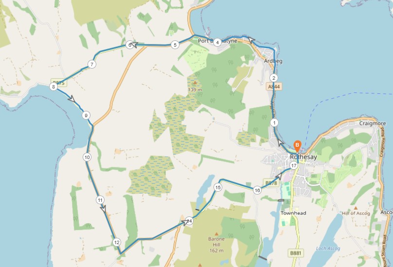
11 miles / 18 km
This walk is a walk with two types of landscapes. The first part is on the gentle east coast on the promenade up to Port Bannatyne. The second stage, the final 2/3 of the walk, is more undulating with a crossing to and from the west coast of the island. There are three pretty long climbs here. The first climb starts from the crossroads at Port Bannatyne. The second one is from Ettrick Bay and the third climb is from the Scalpsie Bay/Rothesay crossroads. None of these climbs is particularly hard.
This is therefore a very scenic and pretty flat walk on some good pavements and tarmac. It is a recommended walk. Preferable in better weather than when I did this walk.
The traffic on these roads is minimal. But be careful and alert at the blind corners.

Hard
Because of the length of this walk, I have given this walk a Hard rating. The walk also uses the beach and path at Ettrick Bay. Both the beach and the path are very good and offer no problems whatsoever. Bring lots of drinks, gels, high-protein bars and appropriate clothes & shoes on this walk. Beware of the midges too. This is a very exposed walk, so bring more drinks than you normally do on a walk like this.

Train from Glasgow Central Station/Paisley/Port Glasgow 2 times an hour to Wemyss Bay. Alternatively, take the McGill's 901/906 bus from Glasgow/Braehead. The bus covers this distance two times slower than the train and is not recommended.
The Wemyss Bay - Rothesay ferry 1 time an hour. But check out the ferry timetable before leaving.
From the ferry and the Victoria toilets next to the cars waiting to enter the ferry, take the promenade to the right, in a northerly direction. Pass the now closed visitor centre and the still very much alive palm trees. This is a great promenade.
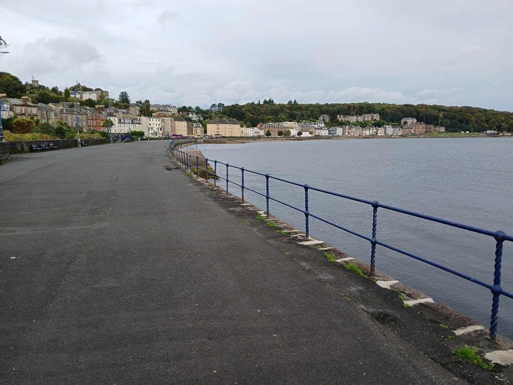
The good promenade and then pavement takes the walk out of the bay towards north, towards Port Bannatyne. Follow the Shore Road all the way as there are some great views here. The next two pictures is from this road up to Port Bannatyne.
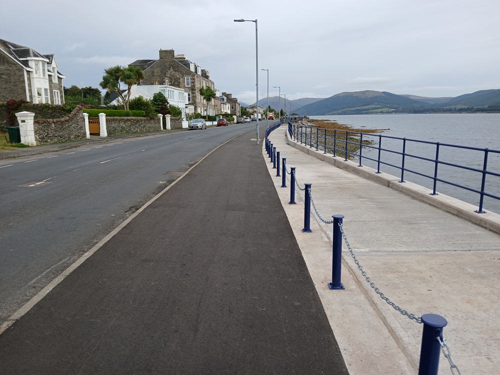
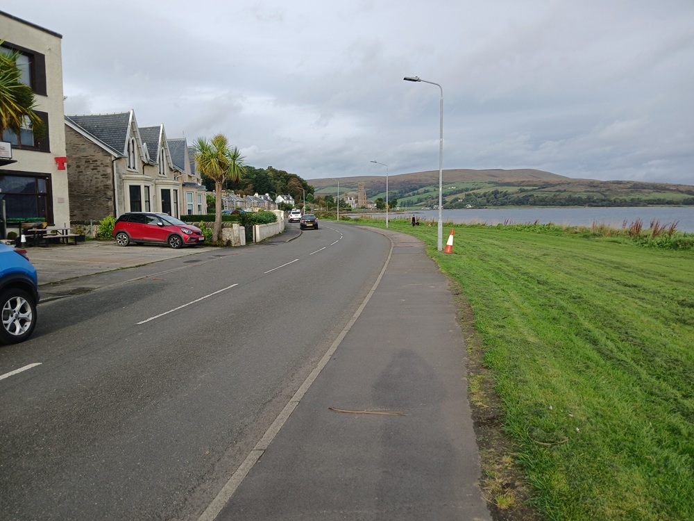
Port Bannatyne is the second biggest village on Isle Of Bute and it has some shops. This is a pretty scenic village. Stock up here for bottles of water/drinks here if needed.
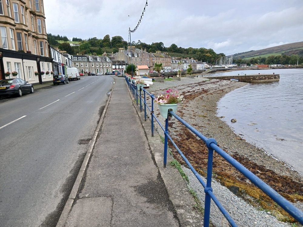
The road passes through this village and then ends up at a crossroads at the end of the picture below. The scenery here is very nice indeed.
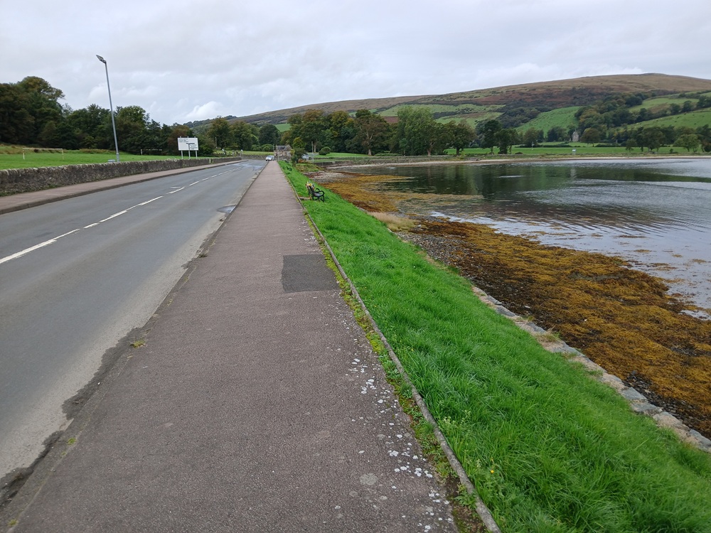
At the crossroads here, take the road to the left, signposted Ettrick Bay. This road starts with a pretty hard climb out of the bay over to a small hilltop before the road crests this hilltop and the farmfields and the west coast of Isle Of Bute comes into view. Head for the church ruins and the old cemetery at the end of this picture.
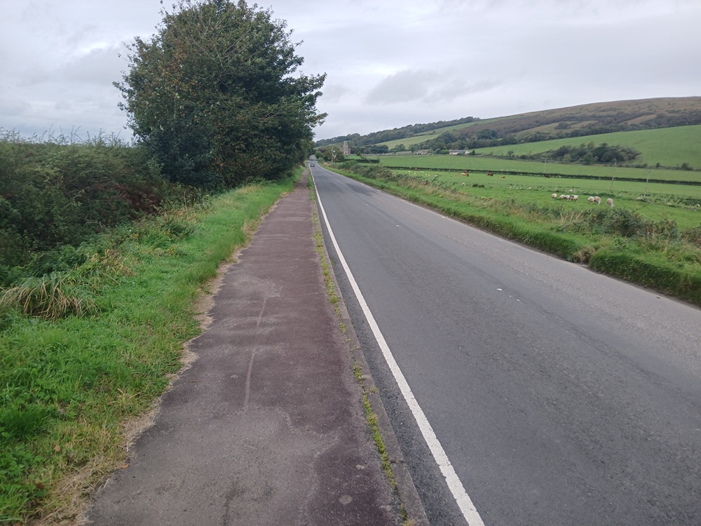
The road is a bit undulating here and the pavement is now ending. Continue straight, to the right, at the next crossroads. There is hardly any traffic on this narrow, winding road leading down towards Ettrick Bay.
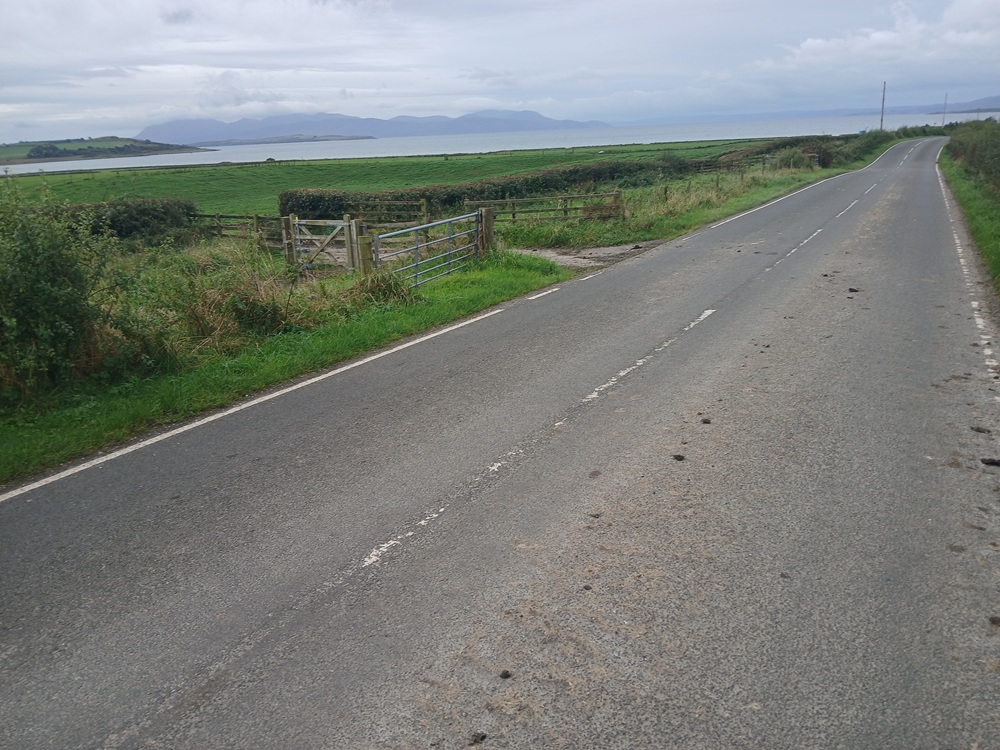
This road ends up at a cafeteria at Ettrick Bay, the beaches of Ettrick Bay. The next three pictures is from the end of this road. The first picture is towards the north. The second picture is towards the south, where this walk is going along the beach. The third picture is from the beach towards Isle of Arran (left) and the Kintyre Peninsula (right). This is a wild part of this wild island.
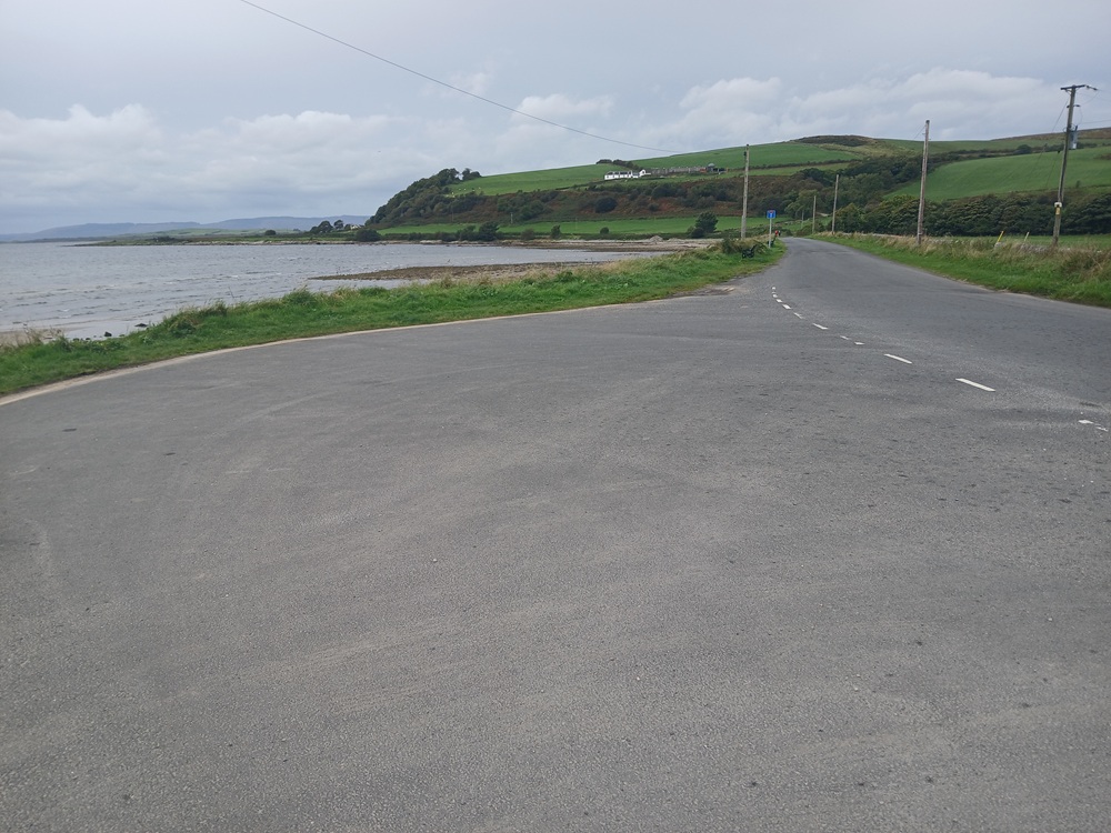
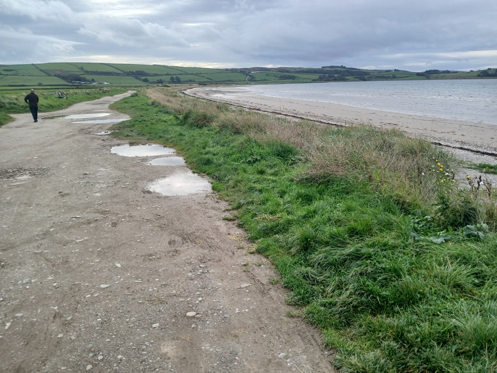
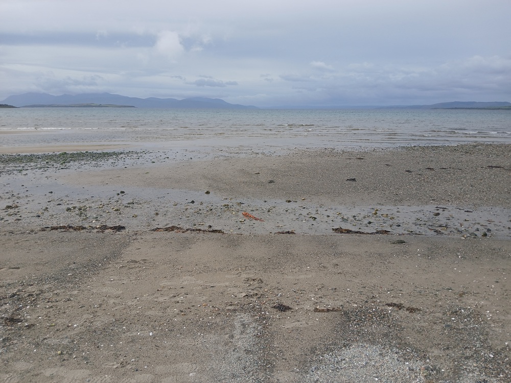
There is a bridge across the river slightly inland from the beach, towards the end of the beach you have to cross if the river is to big to be crossed at the beach. The bridge is easy to cross and not an inconvenience. The path is surprisingly good here.
At the end of the beach, the walk re-enters the road again. Take the road to the right, out of Ettrick Bay. The picture below is from the climb out of the bay, looking back towards the beach and this bay.
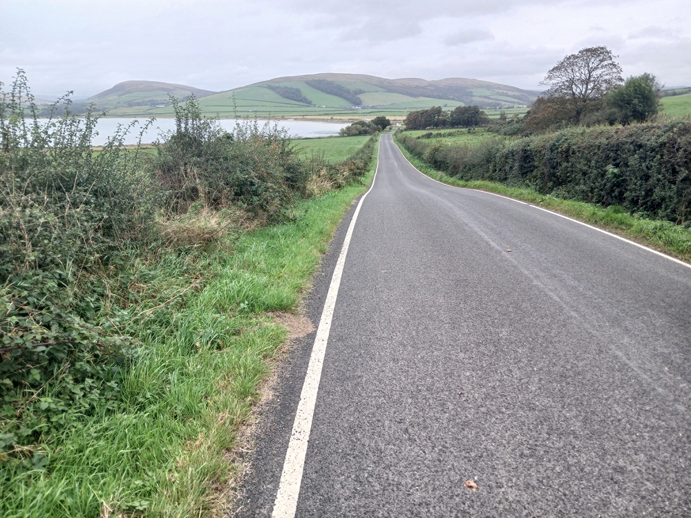
The walk now follows this road. First up this climb and then along some farmfields, passing a farm with some good views towards Isle Of Arran.
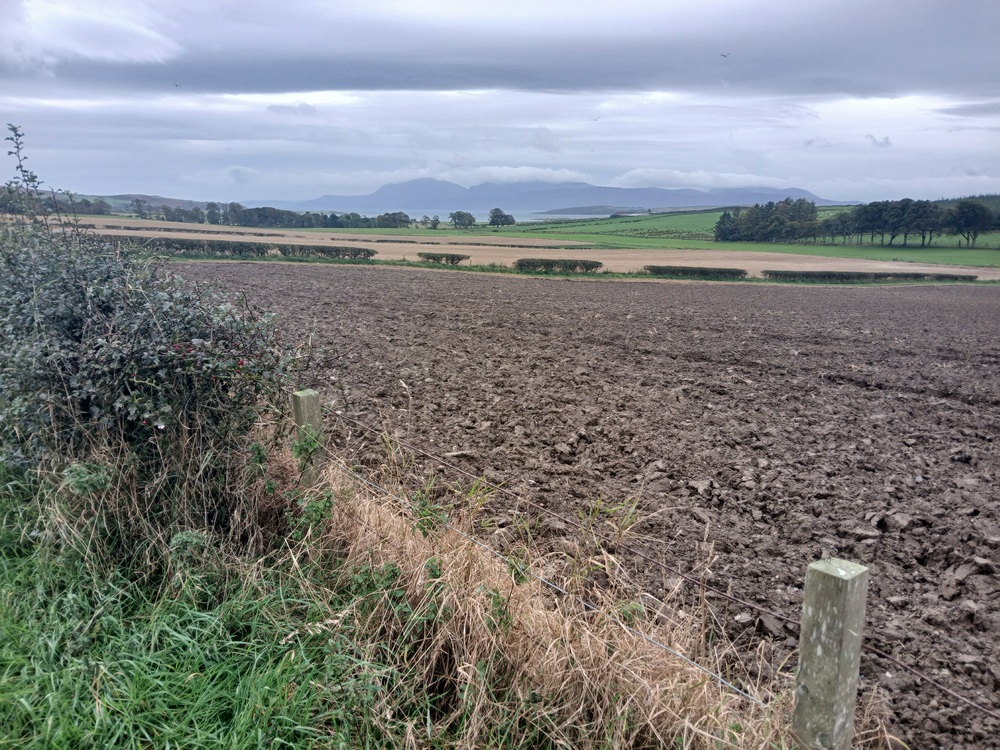
The road descends down to an old phone box and a three big pencils monument. There are some books and postcards for sale in this old phone box. Leave some money in the honesty box if you purchase some of these books or postcards. A charming feature...
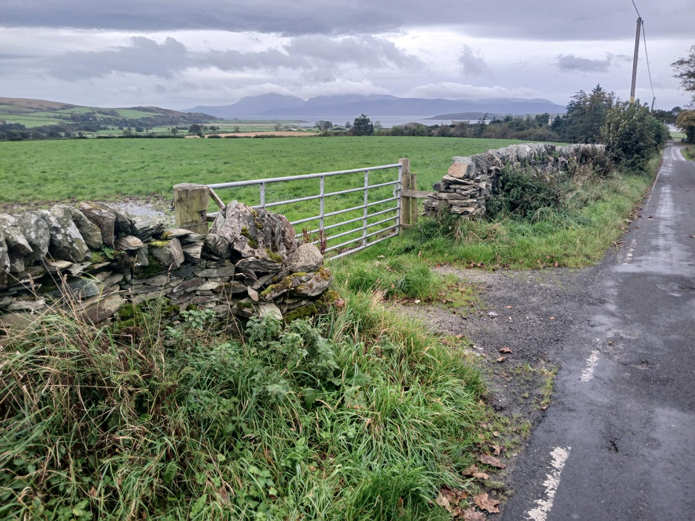
Just after this monument and phonebox, the road makes a 90 degrees turn to the left again. The road now starts to climb again. The picture below is from this climb, looking back again towards this corner and the mountains of Isle Of Arran in the background.
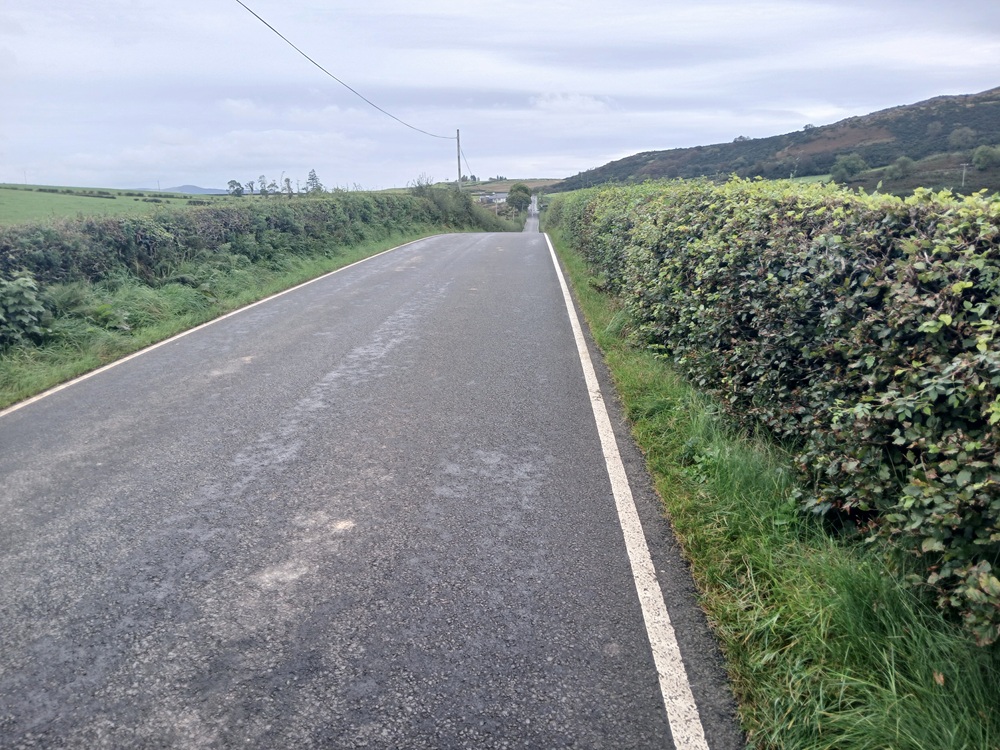
The road turns to the right at the top of this climb before it descends a bit to the bottom of the climb up to the east coast - west coast crossroads. The road now, first pretty gently and then a lot steeper, climbs up through this crossroads.
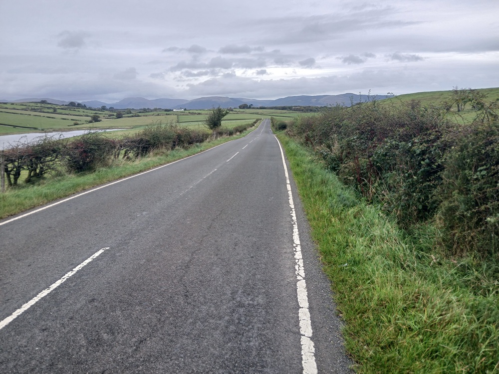
Continue through this crossroads to the left and climb the final, pretty steep bit to the top of the island. The road crests this hill at a small loch to the left.
The road now makes a 90-degree right turn before it descends down to a shallow river valley and then climbs again to the first houses in Rothesay.
The road now descends down to a river before the road enters Rothesay. Continue through Rothesay to the Rothesay Castle before the walk ends on the Rothesay promenade and the ferry harbour.
Ferry back to Wemyss Bay again and the train or bus back to Glasgow/Paisley/Port Glasgow again 2 times an hour (the train) or 4 - times an hour (the bus).
Please note that the bus is bypassing Paisley by going to Braehead instead.
Enjoy the walk !!