
Renfrewshire
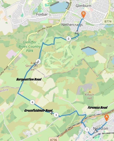
5 miles / 9 km
A pretty testing, hilly walk between Neilston and Glenburn, Paisley. It is also a scenic route along some nice farms and their farm fields. There are some superb views along the way. This walk is an introduction to the delights of the Gleniffer Braes area. That with all it's climbs and descents. This is a good walk, indeed.

Pretty Easy
There are some pretty big climbs and descents here with some flat bits in between. This is a good test and indeed a good start to the walking season. As usual.. good shoes and plenty of water are required.

Train from Glasgow to Neilston 2 times an hour.
McGill's Bus 3 from Glasgow Central Station/Barrhead to Neilston 2 times an hour.
McGill's Bus6 from Paisley Town Hall/Barrhead to Neilston 2 times an hour.
Start from the first bus stop in Neilston/the Neilston train station and walk through this beautiful village on the Main Street past the shops, the war memorial and some nice houses. Just before the Premier supermarket/convenience shop, take the Holehouse Brae to the right. This road descends pretty steeply down to the Barrhead - Lugton road past the old mill to the left.
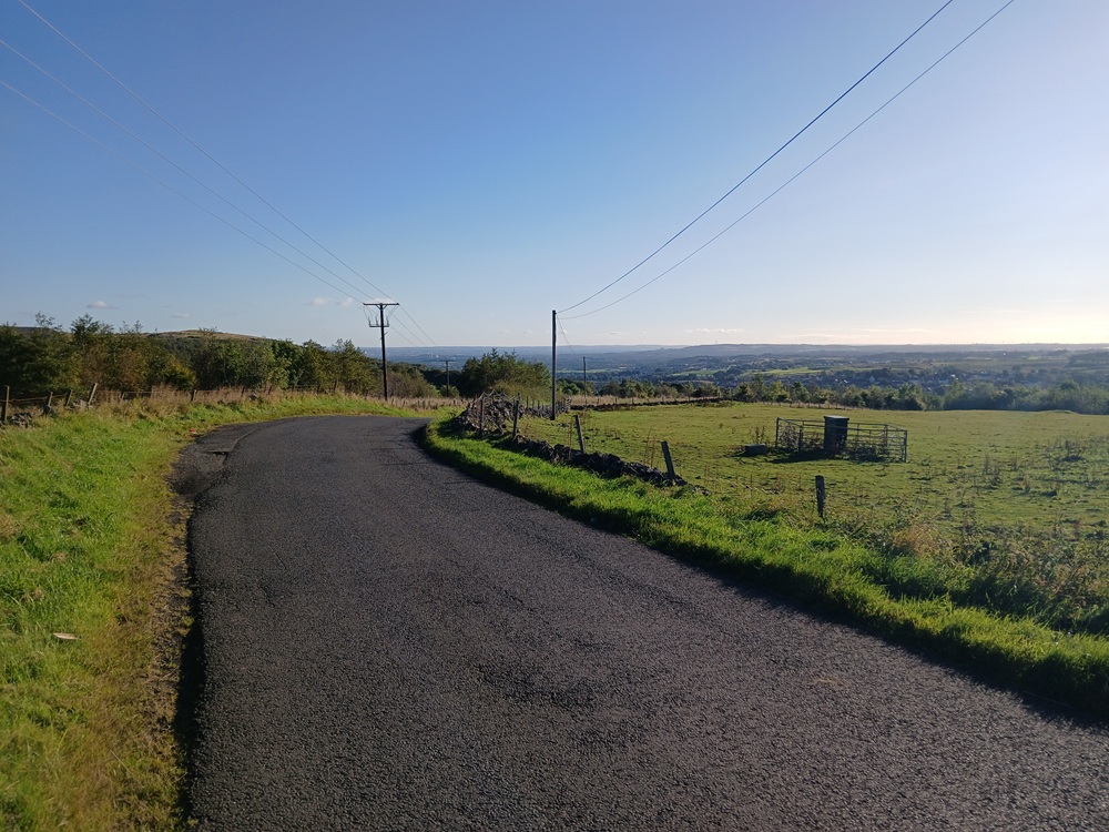
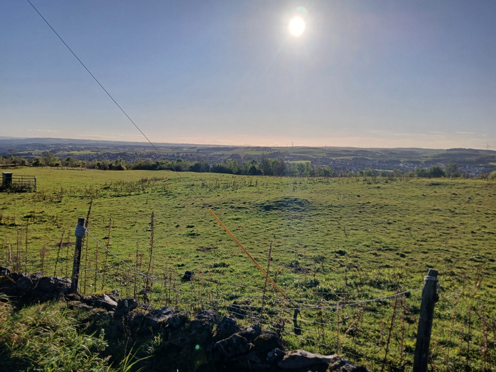
Take the road to the left at the end of the descent/road for 25 yards/meters and then cross the road over to the first road to the right. This road is a steep climb over a railway bridge up to the Fereneze Road who comes up from Barrhead (one of my favourite roads, btw). At the crossroad here, take the road to the left and then to the left again at the next crossroad (where the heavy lorries is carrying straight on). At the top of this road, the views are really good towards Glasgow and Neilston as the two following pictures prove...
At the next crossroad, take the road to the right, Greenfieldmuir Road. This road is scenic, surrounded on both sides by farm fields. There are normally a lot of cows grazing in these farm fields.
The road is slightly undulating before it ends up, after just over 1 mile/ 2 km, at Sargentlaw Road. Take the road to the right, just past the farm where normally there are some donkeys grazing on the farm fields on the left side.
You are now facing the final hill of the walk... The Sargentlaw Road hill. This hill looks harder than it really is. It is still pretty hard. It is another fitness test, past a farm. There are normally some horses grazing on the farm fields to the right of the road. The road is topping out just before the fairways on the Paisley Golf Course. The views towards Paisley and the Kilpatrick Hills are your just reward for the hard walking up to this point. The rest of the walk is mostly descending from here.
Walk 150 yards/150 meters past the car park until you reach the gates on the right side of the road. Leave the road here and follow the path. There may be some Highland Cattle here (it is their favourite spot). Say a friendly hello to them and follow the path which makes an U-turn around the trees to the right and up to a bridge over Gleniffer Burn. Cross the bridge and head down the uneven grassy path in the direction of Paisley. There are a tarmac down the hill to a gravel path which takes you on a flat path high above the valley floor for 500 yards/500 meters to a car park at the end of this gravel road.
Take the road to the left, down a steep descent down past some houses and shops until you reach the roundabout at Glenburn Road. Just before the roundabout, take the tarmac path to the right and cross Glenburn Road to the bus stop where this walk ends.
McGill's Bus 26 to Paisley town hall/Paisley Gilmour Street railway station 6 times an hour.
Enjoy the walk !!