
Milngavie
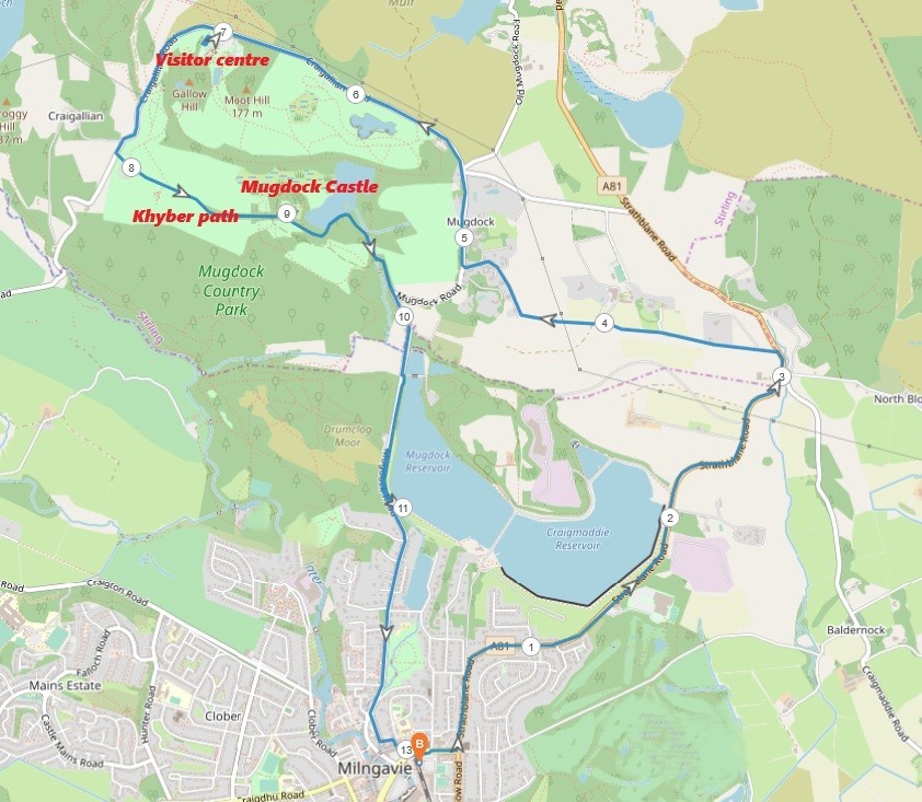
8 miles / 13 km
Mugdock Park is a park just north of Milngavie, in the direction of Strathblane and the Campsie Fells. It has some good walks too. This walk is the walk around the perimeter of this park with the Mugdock Casle included in the walk. This is a scenic walk on small roads and good surface paths.

Pretty Hard
The surface on this walk is tarmac and hard gravel. The walk out of Milngavie is pretty hard on the pavements and grassy verges of the Glasgow - Aberfoyle road. The rest of the walk is pretty flat with a good descent towards Milngavie at the end. This is a good walk with the visitor centre, Khyber Path and the Mugdock Castle being the three highlights of the walk. Those and the very good views throughout this walk. Bring plenty of water on this walk.

Train from Glasgow Queen Street lower level/Partick 2 - 3 times an hour.
There is normally some walkers heading out on the West Highland Way, the 100 miles / 160 walk to Fort William, on this train as this walk starts from the Milngavie railway station. Just as this walk around Mugdock Park does... and that is both the beginning and the end of all comparisons. The Mugdock Park walk takes off to the right up Station Road and then to the left at the next major crossroad up Strathblane Road. This road is climbing steadily past a dam for the next 2 miles / 3 km.
At the "Mugdock Country Park" and "Oskar's Cafe" signposts, take the single track road to the left.
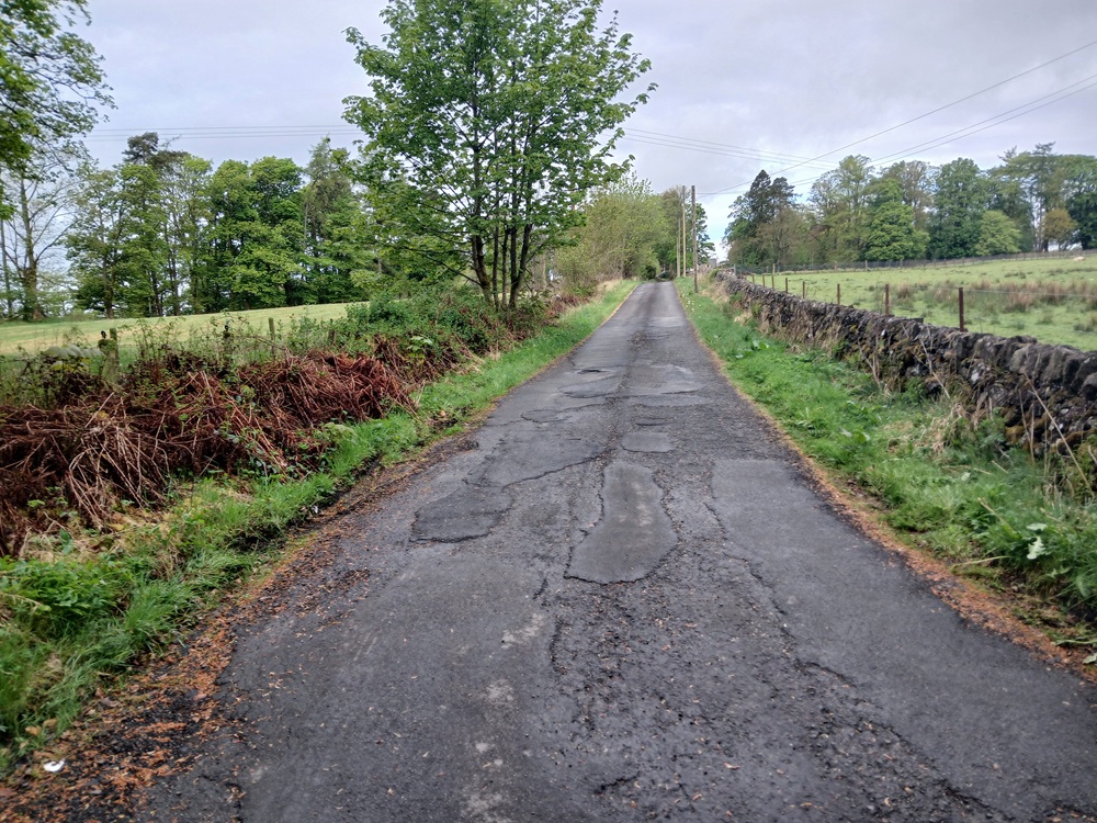
This road has a nice gradient with some good views back towards Milngavie and Glasgow.
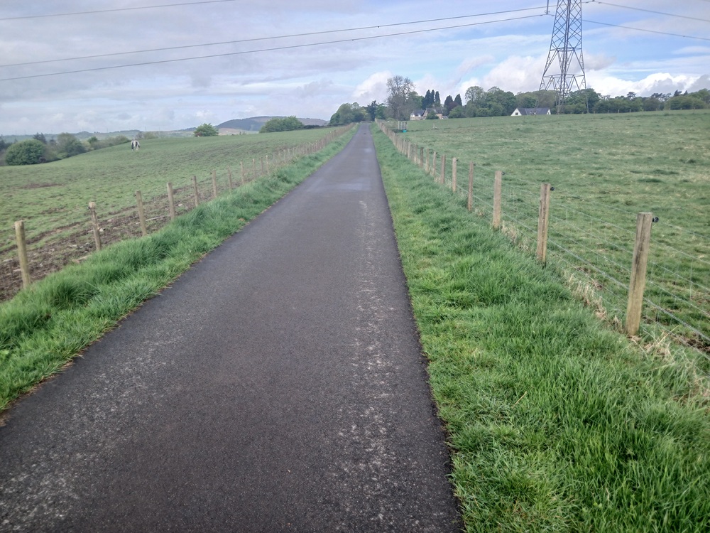
The road turns to the right before it enters the small Mugdock settlement, which has given this country park its name.
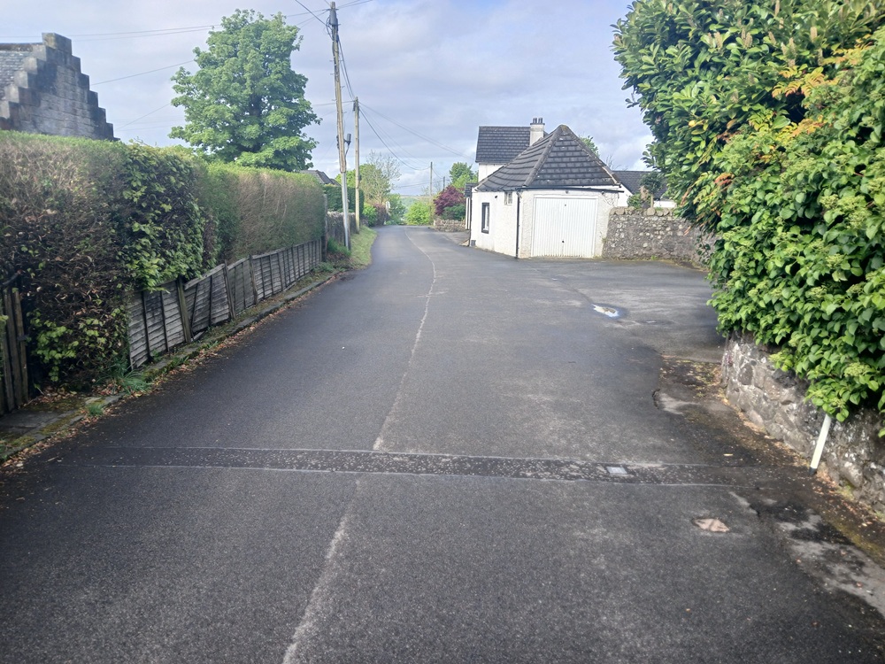
After Mugdock, take the road to the right up a hill and then after the crest, the first road to the left again. The views towards the Campsie Fells and the village of Strathblane is pretty good from here.
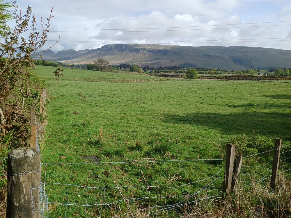
The road to the visitor centre and it's carpark is climbing up a hill before reaching this car park. The views are now towards the Campsie Fells with the Clyde Valley now on the other side of the hill, over the watershed. Eventually, the road ends up at the visitor centre car park and the good gift shop there, where I got a good map of Mugdock Park for further visits. It is recommended that any visitors do the same, as there are some really good walks in this area. Walks I have yet to do.
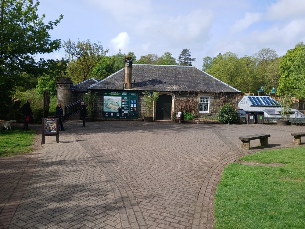
After the visit here (the visitor centre also includes a cafeteria), return to the car park and the road again. Take this road to the left through a small forest on an undulating road. After a pretty steep climb, the road now comes to a car park signposted "Khyber Car Park", take this road to the left past the car park to a gate.
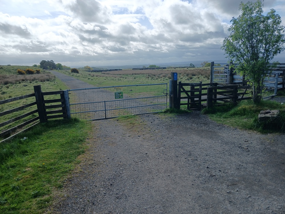
Walk through this gate to the Khyber Path. This is a very scenic path with some brilliant views towards Glasgow and the Clyde Valley. This is no doubts the highlight of this walk and one of the most scenic paths in the Clyde area.
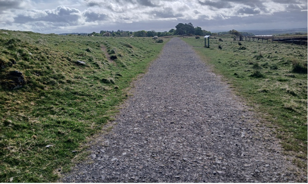
The path ends up at Mugdock Castle. This is a must-visit (free access) castle and well worth exploring. The next two pictures are from this castle.
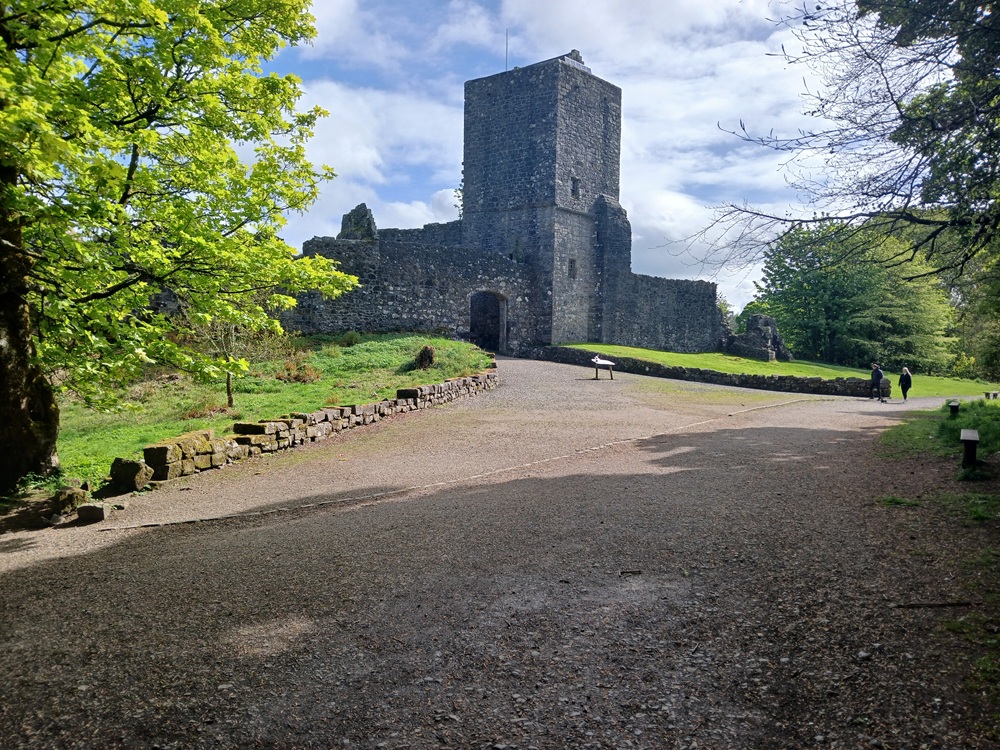
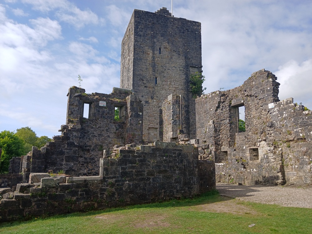
When finished exploring the castle, take the path to the left again and then the next path to the left, down to the shores of Mugdock Loch. This is a scenic loch. Then continue this path down to a car park. Take the road down the hill to the right, down to the Mugdock Reservoir. Follow the path here down to this point here...
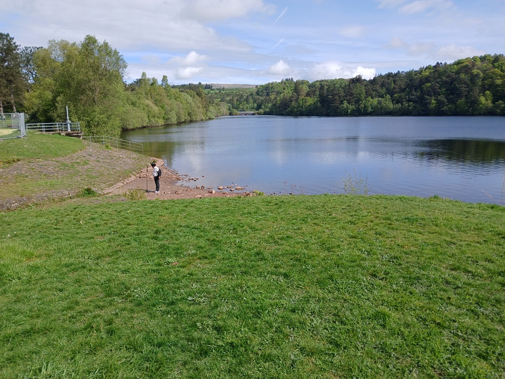
Continue on this dam until Mugdock Cottage. Take the path to the right again, under the dam down to Mugdock Road. Take this not so interesting road down to the left to a roundabout where you take the road to the left again, through the pedestrianised Station Road and an underpass (the start of the West Highland Way, btw) to Milngavie train station where this walk ends.
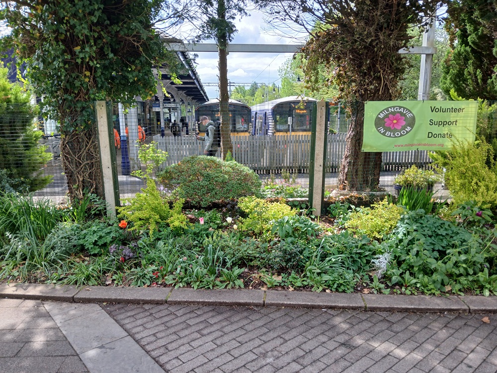
Train from Milngavie back to Partick/Glasgow Queen Street lower level 2 - 3 times an hour.
Enjoy the walk !!