
Kilpatrick Hills
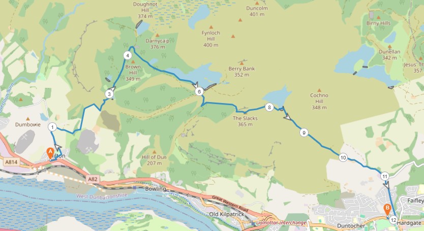
8 miles / 12 km
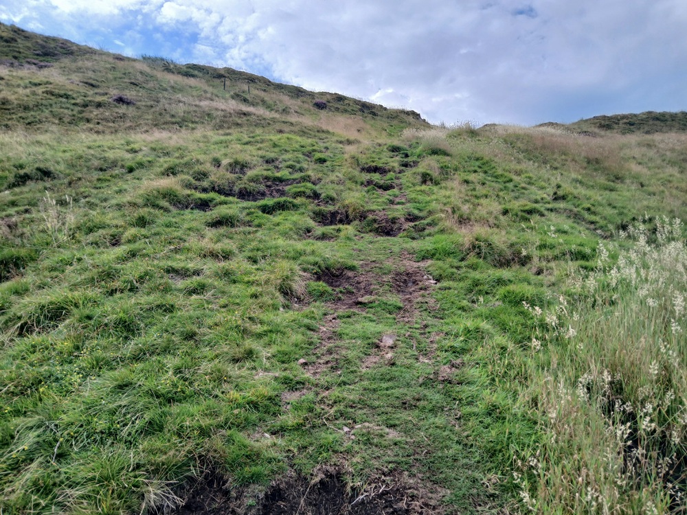
This is a walk West Dumbartonshire Council is advertising. That without making sure the path is maintained. It is not. This is still a good walk. The first 2 - 3 miles / 4 km is very extremely steep. The flat bits is also full of nettles and other not so friendly vegetation. This is therefore not an advisable walk at the end of the summer when the vegetation is at full bloom.

Very Hard
The walk is a 1/10 steep gradient during the first two and a half miles / four kilometres. There are some flat bits here and even a descent. In other words, there are some long 20 - 30 degrees long climbs during this part of the walk. Take into account the uneven path and the nettles too..
There is also a short steep climb just below The Slacks too. In other words, this is not a walk for the faint-hearted. Use proper trousers and cover up your upper body as the nettles are nasty.
Bring a nettle sting roll-on stick/spray, at least 2 - 3 litres of water, protein bars and very good shoes on this walk. Walking poles are also a great idea on this walk. Dogs are not a good idea on this walk due to the livestock and the nettle.

Train from Glasgow/Partick to Dalmuir.
Cross the carpark from Dalmuir train station to Dumbarton Road and the bus stop in the direction of Dumbarton
Bus from this bus stop to Milton.
From the bus stop at Milton, cross the busy Dumbarton Road and take this road to the right. Then take Milton Brae to the left, up a steep climb past some houses until you get to this point as shown below...
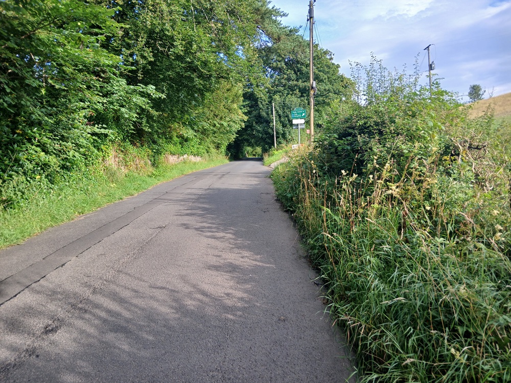
Follow the Loch Humphrey signpost and take this gravel road to the right. The climb is pretty gentle to start with..
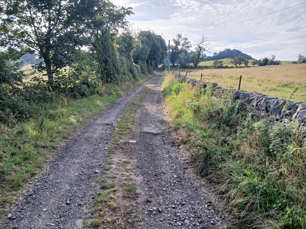
..But it becomes a lot steeper around some bends before it ends up at the path here. See this signpost.
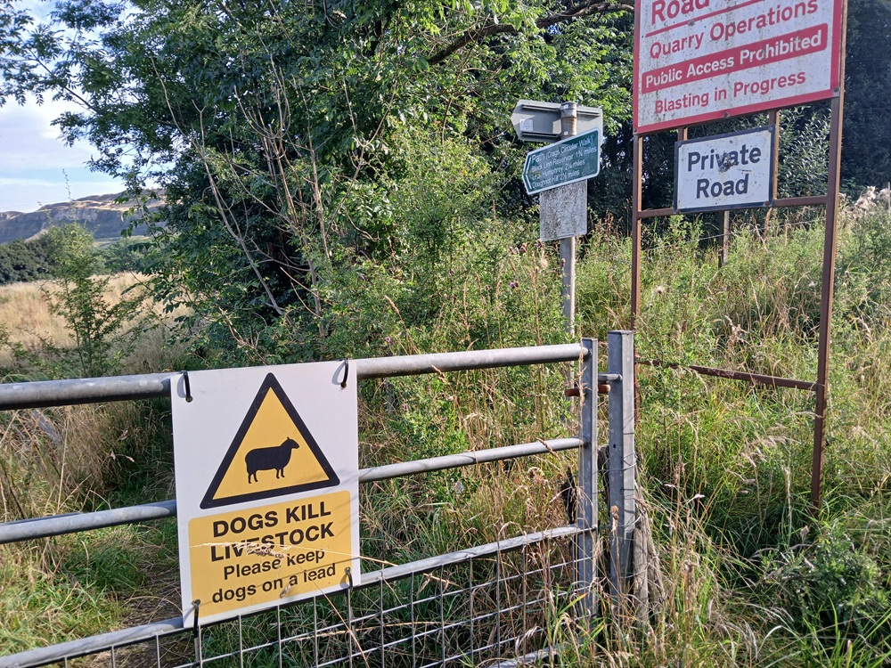
The solution to avoid getting the full attention from the nettles here is to switch over to the farm field at the first possible opportunity. I did not and got some severe nettle burns. Follow the path in the farm field and ignore the sheep.
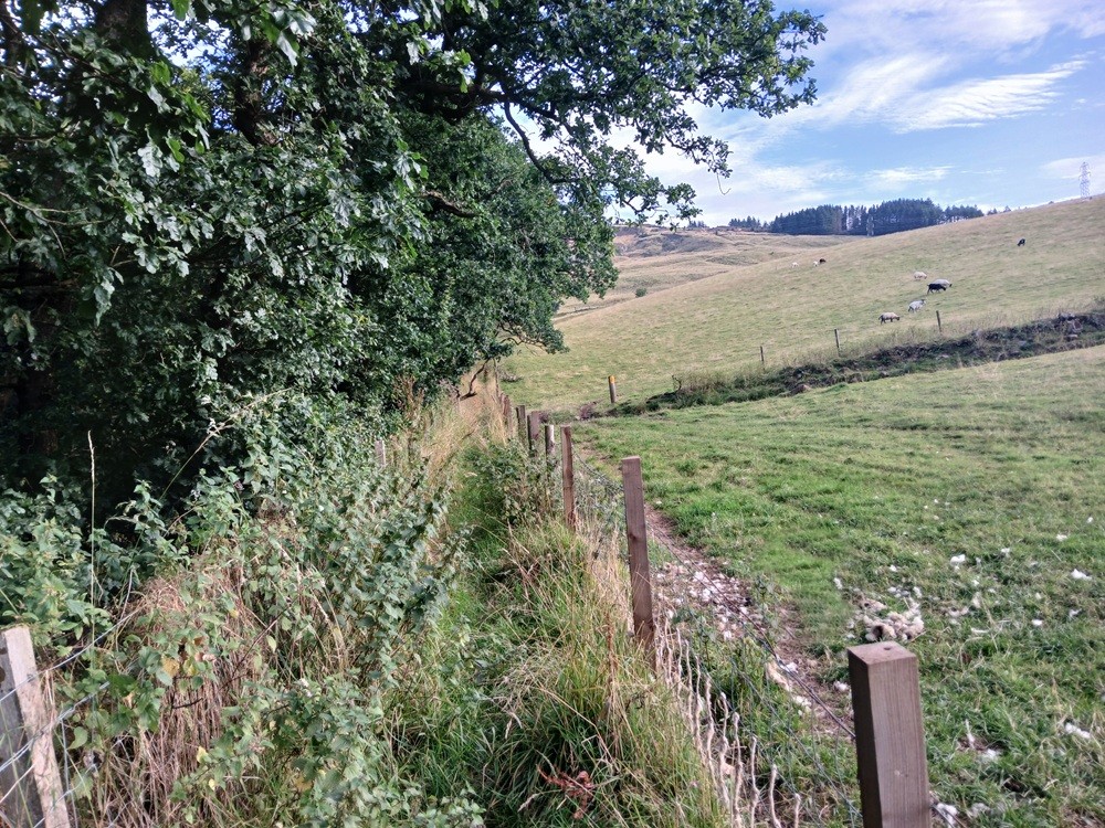
The path ends on a gate at the other side of the field. Go through it and follow the fence to the right on and next to the disused dry wall up a hill. Another gate follows and go through that gate and follow the fence to the right again. Another gate follows after some hundred yards/meters. There are some great views here.
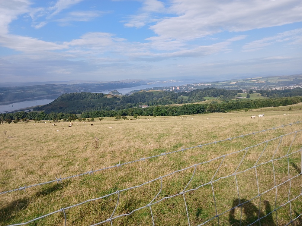
This one is signposted and go through the gate to the left to the top of the path.. and the end of this path. A more friendly gravel track follows. Friendly surface but not a friendly gradient.
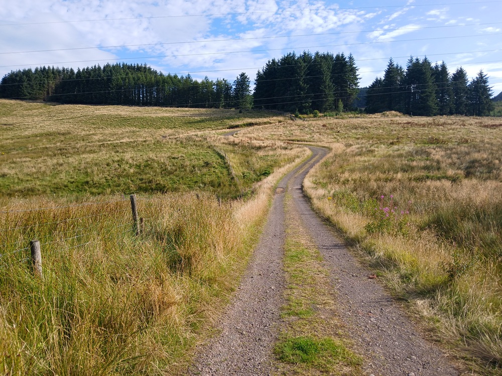
After this short descent, this gravel road climbs a lot. The climb becomes very hard after a while. There are some roads going the left and the right here. Ignore them and just climb on to the top of this hill. It is one of the hardest climbs in the Clyde area, the area covered by ClydeWalks… if not the hardest climb.
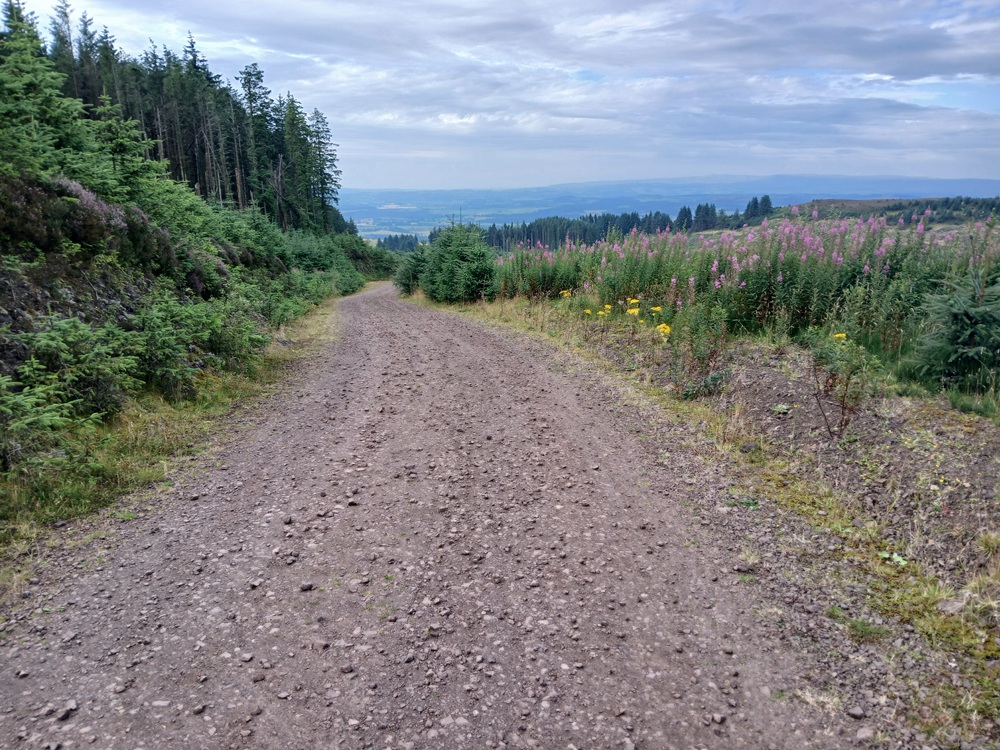
At the very top of this climb, and at a disused quarry, take the road to the right here. This road passes Greenland Reservoir to the left before a path towards Loch Humphrey leaves the gravel road to the left. Take this path.
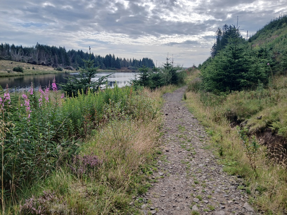
The path follows the shore of this loch before it ends on the Loch Humphrey - Kilpatrick road. Cross this road and head straight up a grassy path on the other side of the road. This climb on the grassy path is very steep, 40 degree or so, and it takes you up to the path who goes along a deer fence towards The Slacks. Admire the views first (first picture) before you start the walk on this path (second picture).
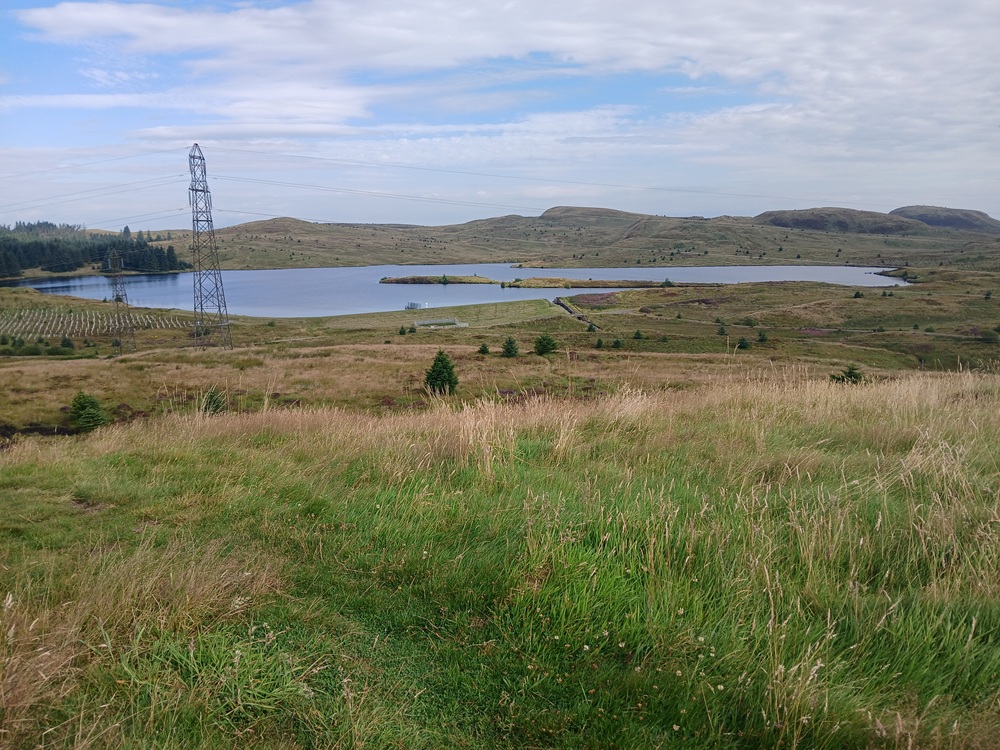
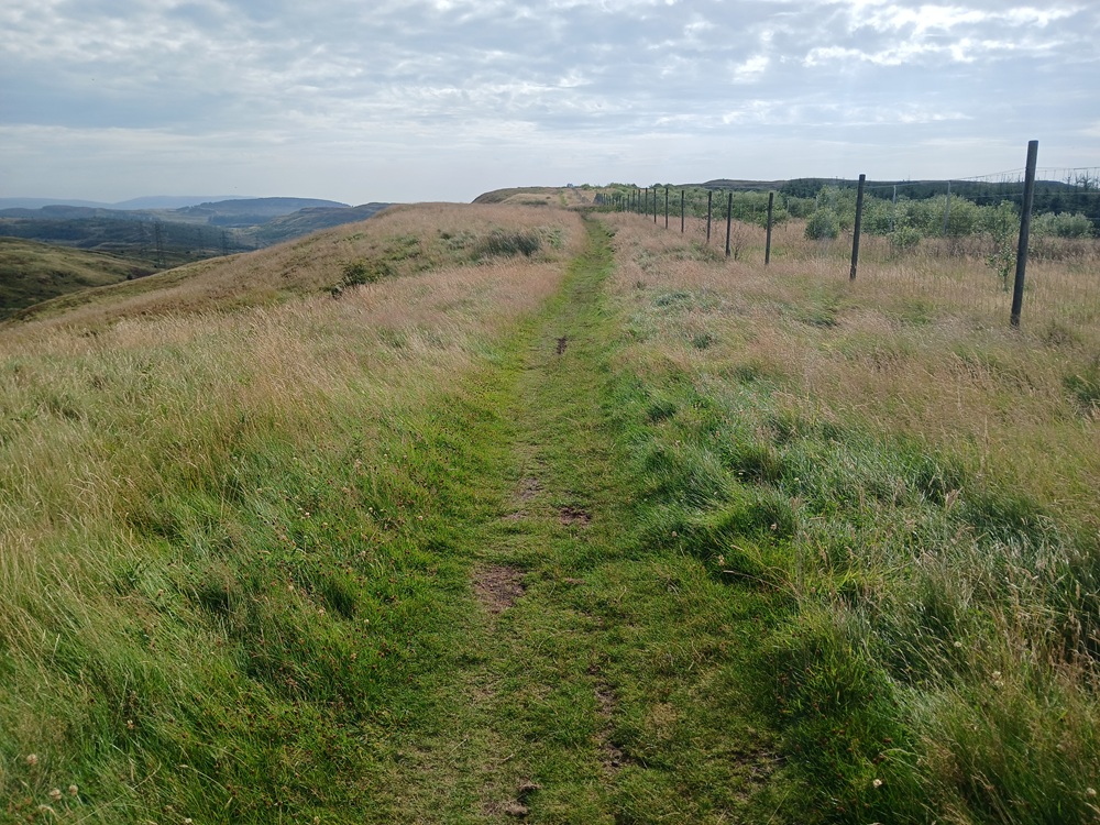
The path ends up on a ridge and a descent down to a small valley. The bottom of this valley/glen is wet and muddy. There is crossover to the right of the path which is dry on a sunny day. Narrow but dry. Use this part of the path.
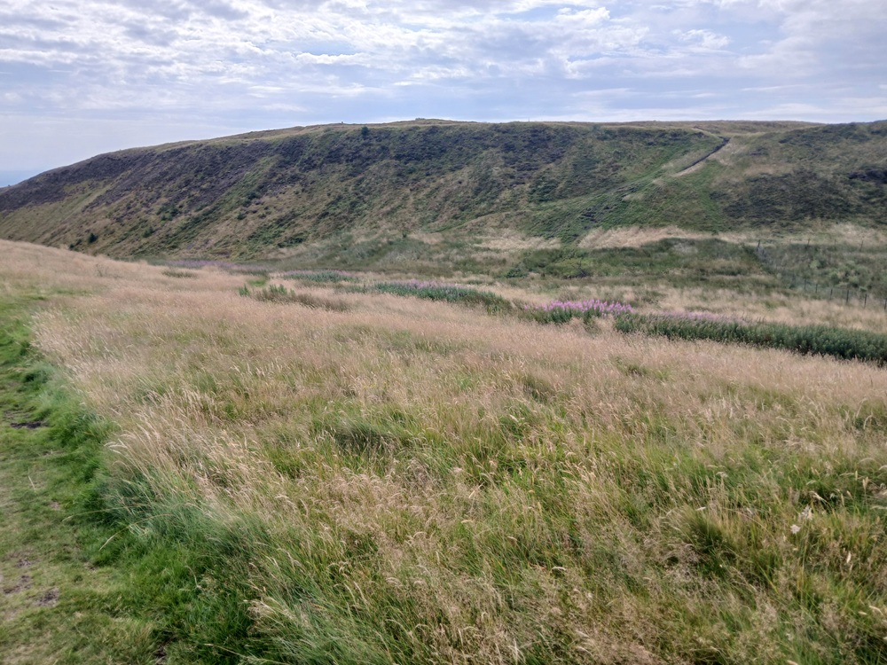
The climb up from this valley is very steep, 40 - 50 degrees on a grassy path. Just be careful here and make sure you do this climb in a secure and safe manner.
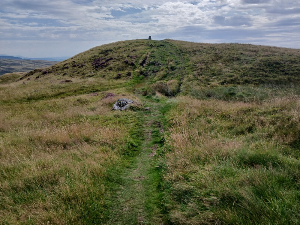
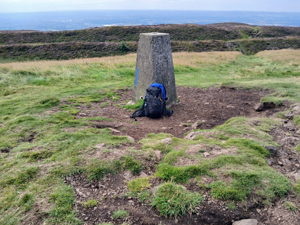
At the top of this climb, the trig point at The Slacks comes into view (first picture). A short climb remains before the top of The Slacks and the obligatory selfie or the picture of the rucksack at the top (second picture). Duncolm, the highest hill in the Kilpatrick Hills is also visible from here (third picture).
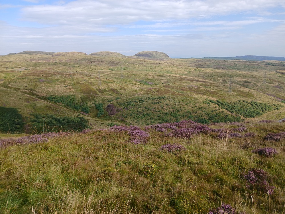
From The Slacks, head down the path to the right, in the direction of the loch down to the right... Greenside Reservoir. The walking poles comes in handy here as the descent is pretty steep. Head for the dam here. The picture below is the glen with the road down to Faifley.
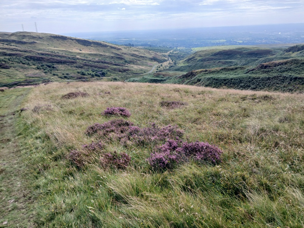
At the bottom of this descent, cross the dam and take the road on the picture above down the glen. There is a watering hole with fresh, good water just 200 yards/meters down this gravel road, in the river, if you have run out of water. The water is good here. Continue the road past a gate at the end down the Cochno Road and the bus stops to the right at Glasgow Road.
Bus to Clydebank Railway Station with train to Partick/Glasgow 2 - 3 times an hour (fastest).
Bus to Faifley/Bearsden/Maryhill/Glasgow Central Station 2 - 3 times an hour (slowest).
Enjoy the walk !!