
Renfrewshire
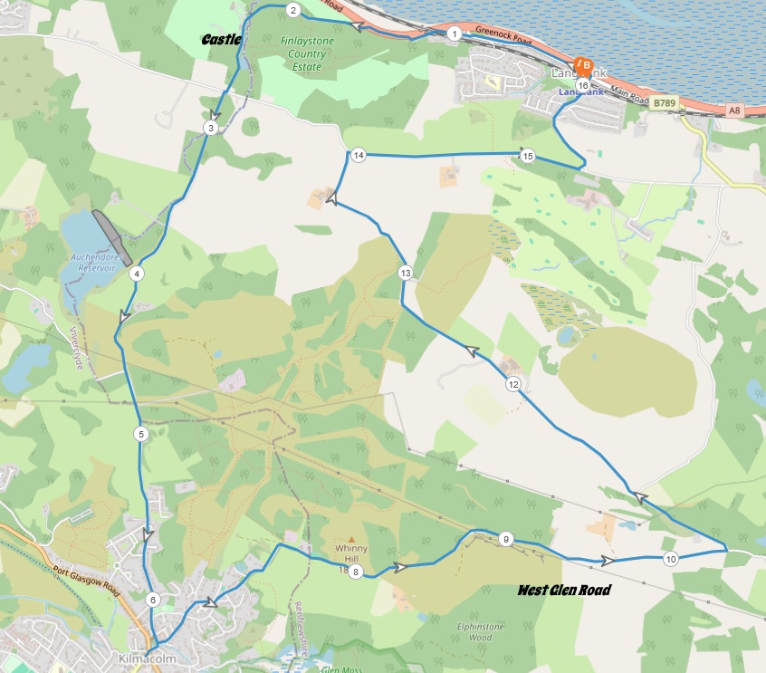
10 miles / 16 km
This is a long, hard walk in the hills and glens between Langbank and Kilmacolm. The walk takes in both the Finlaystone glen and West Glen. There are some hard climbs throughout this walk. The scenery is excellent though and this is one of the best walks in these hills south of the River Clyde.

Hard
This walk has two big climbs, the one just before Kilmacolm and the one at the end of the West Glen. The climb out of Kilmacolm on the West Glen Road is not easy either. There are some long flat roads here too. This is a hard, undulating walk which will test anyone's physical stamina. Bring plenty of water here although the COOP shop in Kilmacolm is an excellent watering hole. Protein bars are also a great idea on this walk.

Train to Langbank from Glasgow/Paisley 2 times an hour.
Jump off the train and head for the exit straight ahead onto Station Road. Take this road to the right, under the railway line and then straight ahead to the Main Road. Take this road to the left and follow this road for approx half a mile / 1 km to the start of the path.
Follow this path under the railway line again and for some hundred yards/meters alongside the main Greenock - Glasgow M8 motorway to the start of the Finlaystone Road to the left, leaving the noisy motorway behind. This road is also signposted, Finlaystone Park. Follow this road around a bend and then over a bridge where this castle meets you.
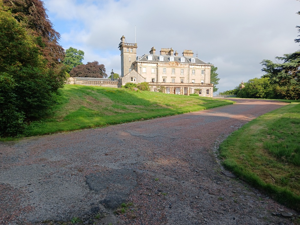
Continue up this road and cross the Old Greenrock Road. A small road road, 10 yards/meters to the right and straight forward take you up this glen. You are still on the Finlaystone Road, btw. The road is flat in the beginning before the hardest climbs of the walk commence. The picture below is looking back from near the top of the hill down the glen again.
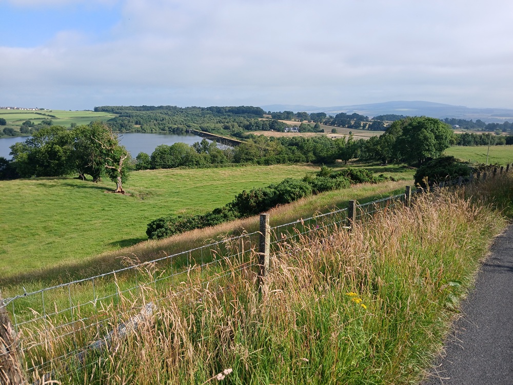
The walk into Kilmacolms is gentle and slightly descending at the end. If you need xtra water and or food, walk the road down to the village square and the COOP Shop there. Otherwise, take the West Glen Road (signposted) to the left (to the right if returning from COOP) at the playing fields at the bottom of the descent to Kilmacolm.
This road climbs steadily up through Kilmacolm to a farm field where it becomes pretty flat. The road follows this farm field until a small, sort of, flat mountain pass. This mountain pass takes you from the Gryffe Valley to the West Glen. This road is a bit undulating before it starts to descend.
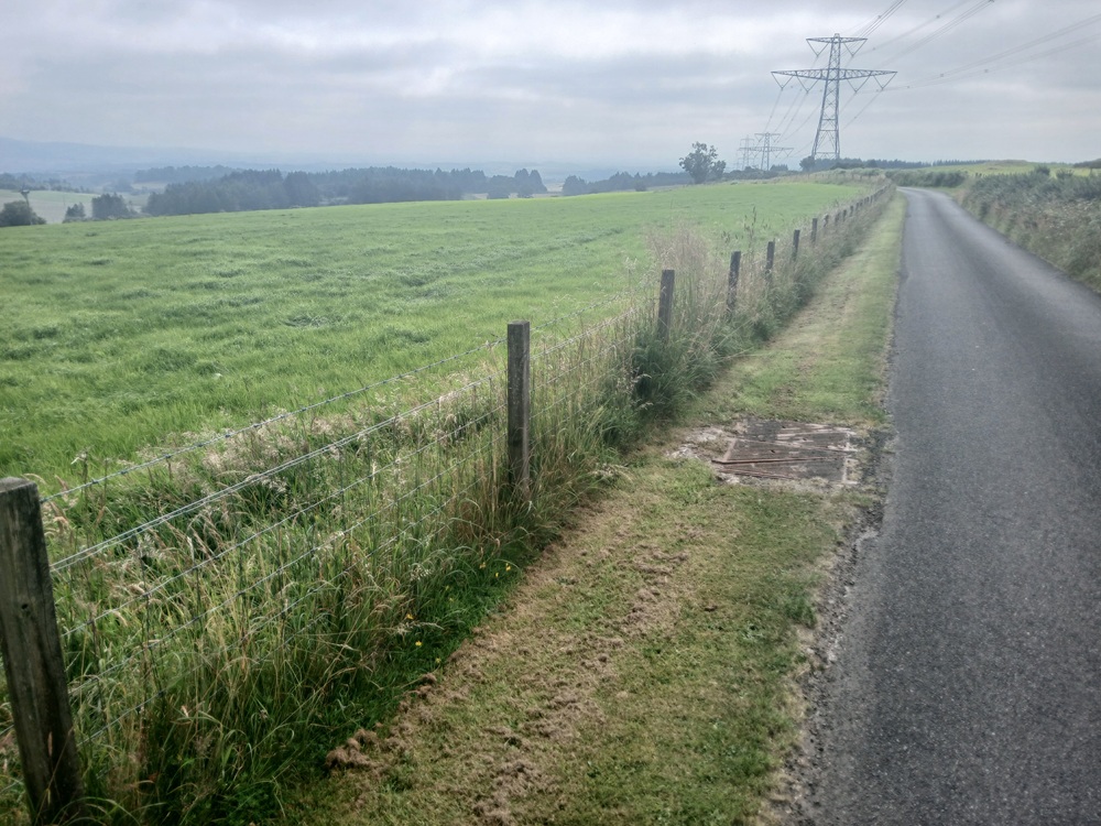
There is a superb viewpoint with, on a clear day, views towards Paisley and Glasgow. The road now drops past some farm fields towards the West Glen Road - Gallahill Road. At this crossroad, take the Gallahill Road first through a forest and then over a bridge before the road comes to the Gallahill Road - Netherton Road crossroad. Continue straight ahead and up some climbs towards a farm.
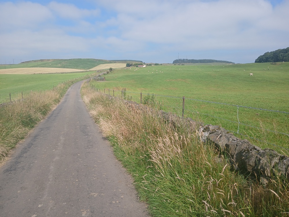
This road is climbing steadily past the farm to the end of West Glen. The final climb is both hard and long. A real tester, no less.
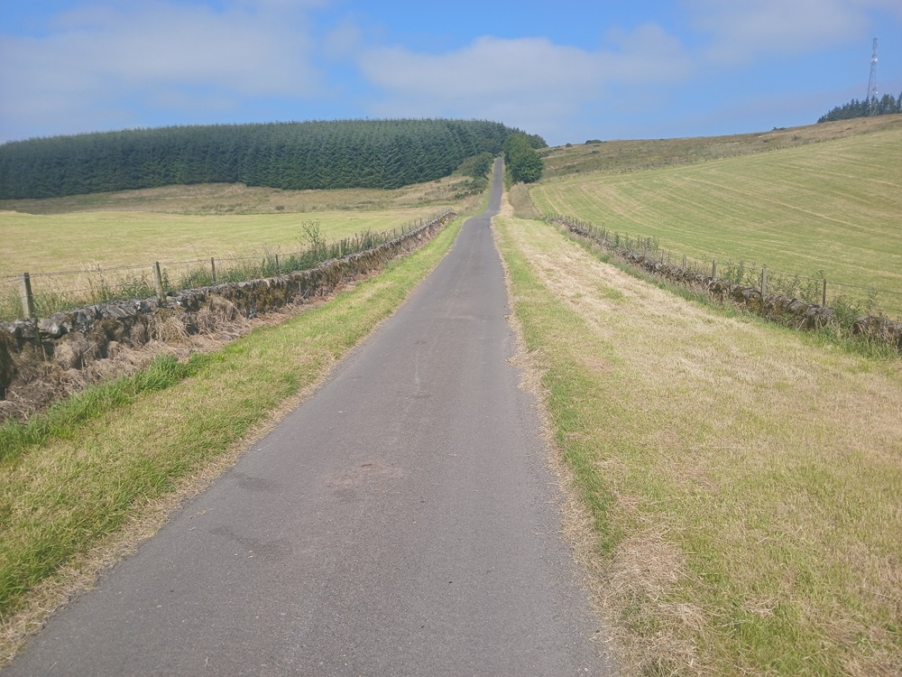
The views from here are really good. The walk is now leaving West Glen behind and is entering the wide Clyde Valley.
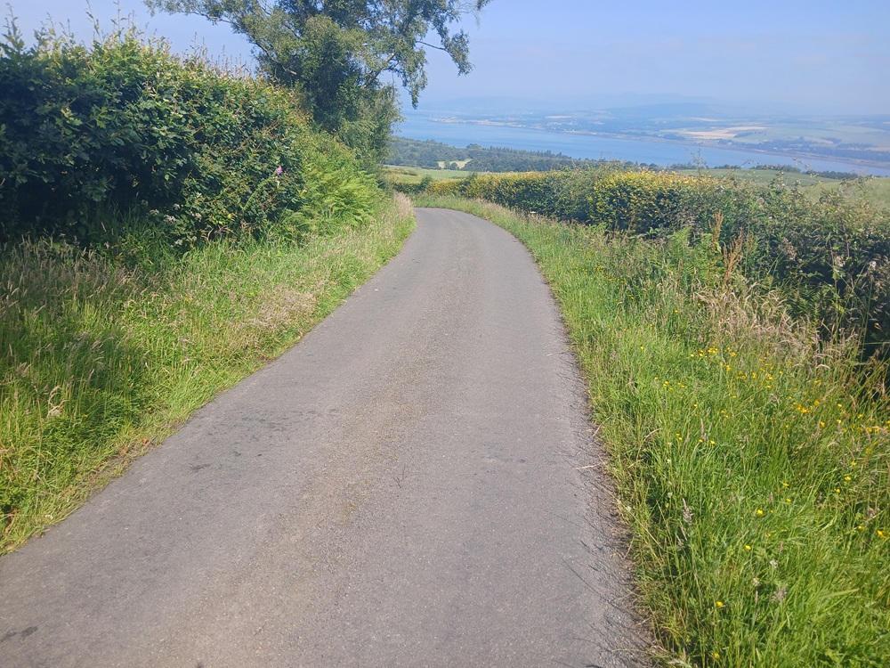
The road is now dropping down the hill with some great views towards River Clyde, Helensburgh and Cardross. At the end of the descent, take the Old Greenock Road to the right and up a small incline and past some farm fields which now have some llamas. Weird....
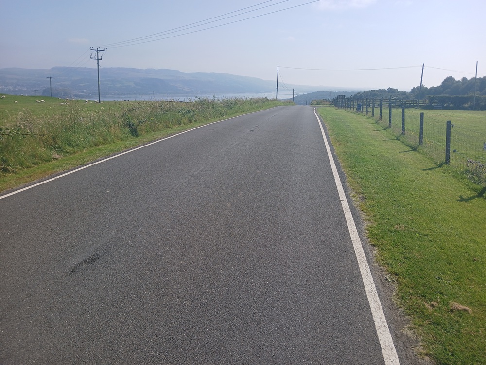
The views towards the Bowling area and Kilpatrick Hill are very good from this hilltop. At the bottom of this big hill, which the walk is now descending, take the road to the left, the aptly named Station Road, which descends down to Langbank train stop where this walk ends... and unfortunately, it ends with a steep climb on the footbridge over the railway line to the other platform, direction Glasgow.
Train to Paisley/Glasgow 2 times an hour.
Enjoy the walk !!