
Glasgow
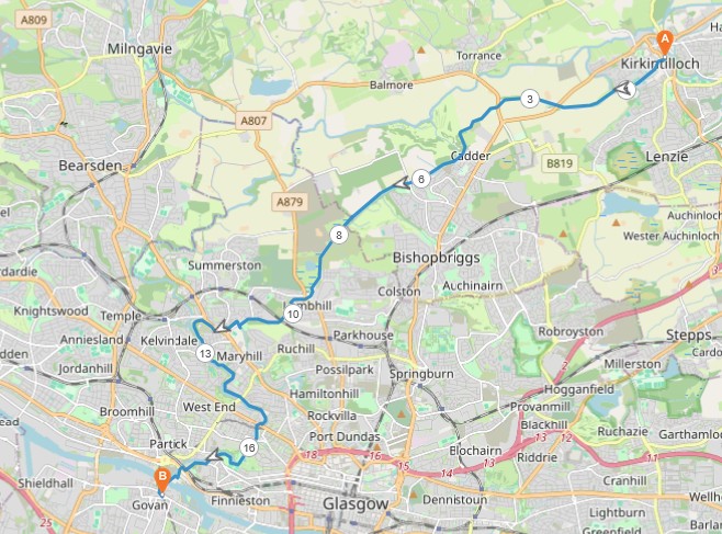
10 miles / 17 km
This walk is a blend of canal walk and a river walk. I have lumped it into the Farmlands category of walks as a compromise. I did this walk as I needed a long, flat walk after a period of sore legs. A bit of an easing into a new season. This walk is a great walk in the spring or late autumn. It is a pretty interesting walk.

Pretty Easy
This walk is flat with some easy descents down the river at the end. It is still a pretty exposed walk. Bring good/warm clothes, drinks and good shoes here as there are no shops along this route. The surface is tarmac all the way.

Bus from Glasgow Buchanan Street, stance 37'ish, to Kirkintilloch 3 - 4 times an hour.
Jump off the bus at the bus stop just after the canal in Kirkintilloch. Retreat back the road for 150 yards/meters to the canal. Take the canal to the right. The walk is flat on the towpath out of Kirkintilloch before the canal enters a more rural setting.
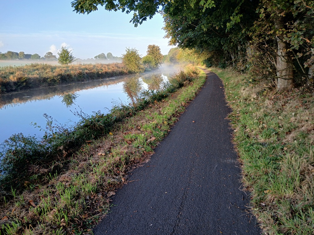
The walk is pretty straightforward here with some good scenery on both sides of the canal. The walk becomes a bit more interesting after a couple of miles/three kilometres.
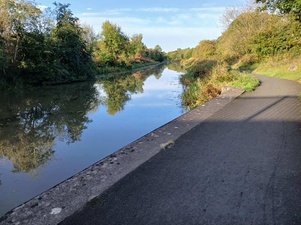
The towpath passes a church and then an old Roman fort where I had a nice lunch last year while feeling a bit of a kinship with the Roman centurions who on the same spot also were enjoying their meals 2000 years ago. I had a prawn sandwich. I very much doubt the Roman centurions had prawn sandwiches. Anyway, that Roman fort, which comes complete with a bench, is a good place for a rest. It is also halfway on this canal walk.
The canal now approaches Glasgow proper and Maryhill. The bridge over the canal crossroads comes into view...
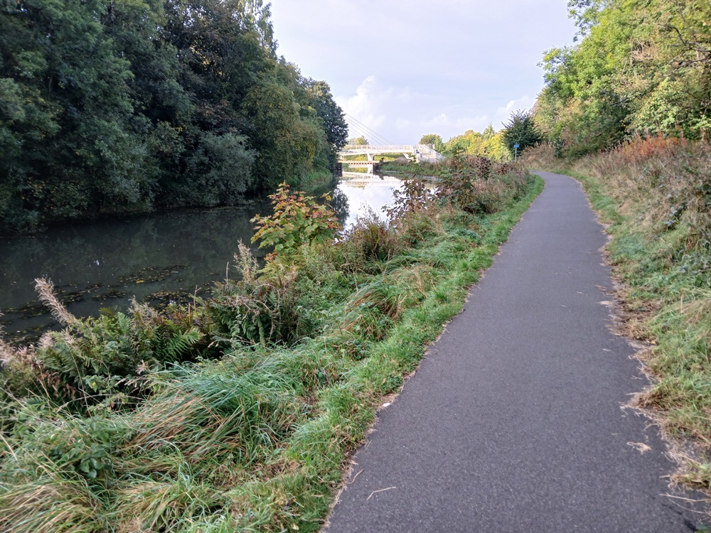
Cross over the canal on this bridge on the picture below. On the picture below, the canal towards Bowling, where this walk is heading, is to the left in the picture. The canal towards Kirkintilloch, Falkirk Wheel and Edinburgh is to the right. The canal behind the photograher, me, goes down to Glasgow. It is a great piece of crossroads and well worth a visit.
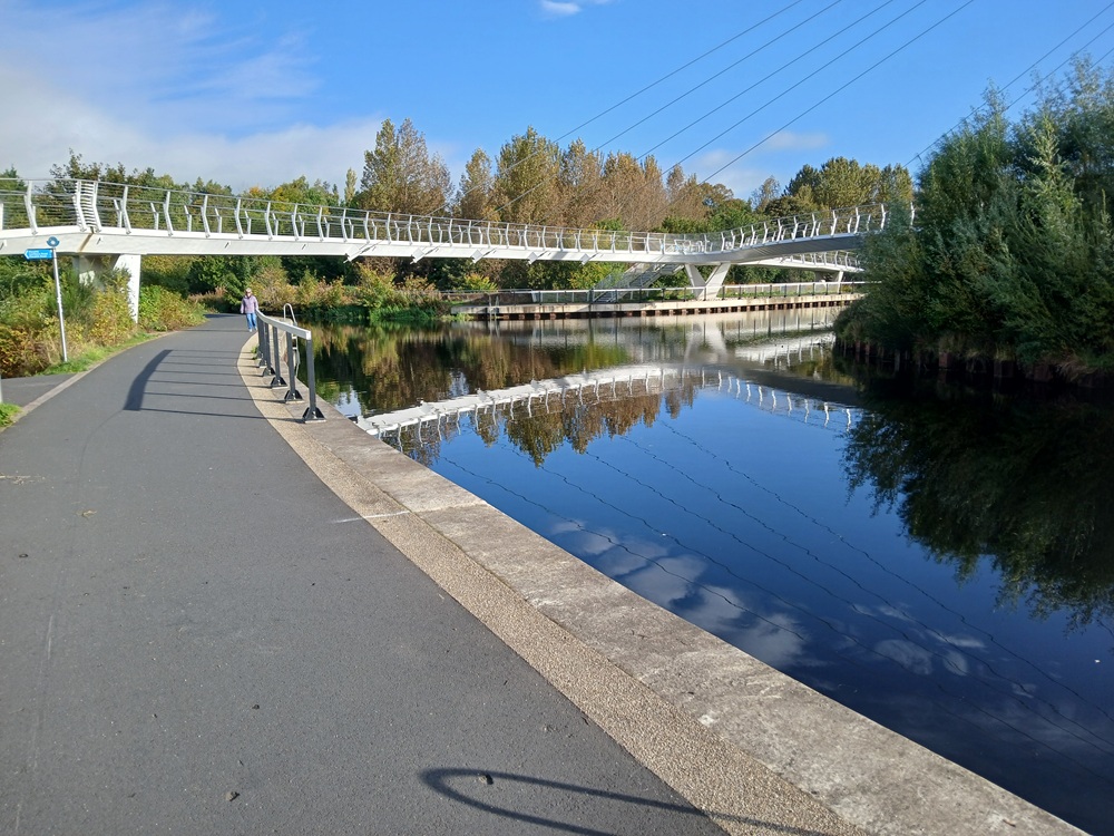
Take the canal to the left, past Maryhill which the canal crosses on a bridge, and past some new housing. The towpath ends up in the Maryhill Lochs after a half a mile/ one kilmeters short walk. Maryhill Lochs is very impressive.
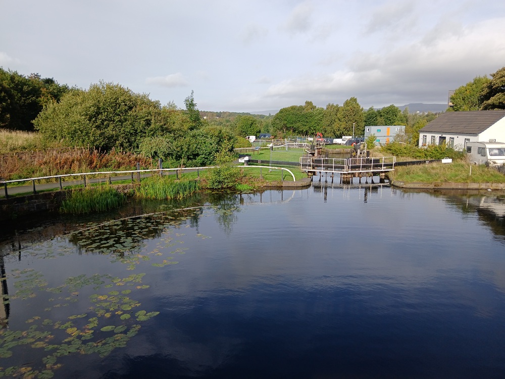
The path descends down the locks to the crossroads between the towpath and the river. The beginning of the River Kelvin walk starts at the bottom of Maryhill Locks and is well signposted. Follow this zig-zag path down to the river.
The walk down the river is both interesting and fun. It is also spectacular at times. It also happens to be the best walk within the Glasgow city centre. The two following pictures is from this walk. I have covered this walk pretty extensive in the River Kelvin walk at the River Walks section.
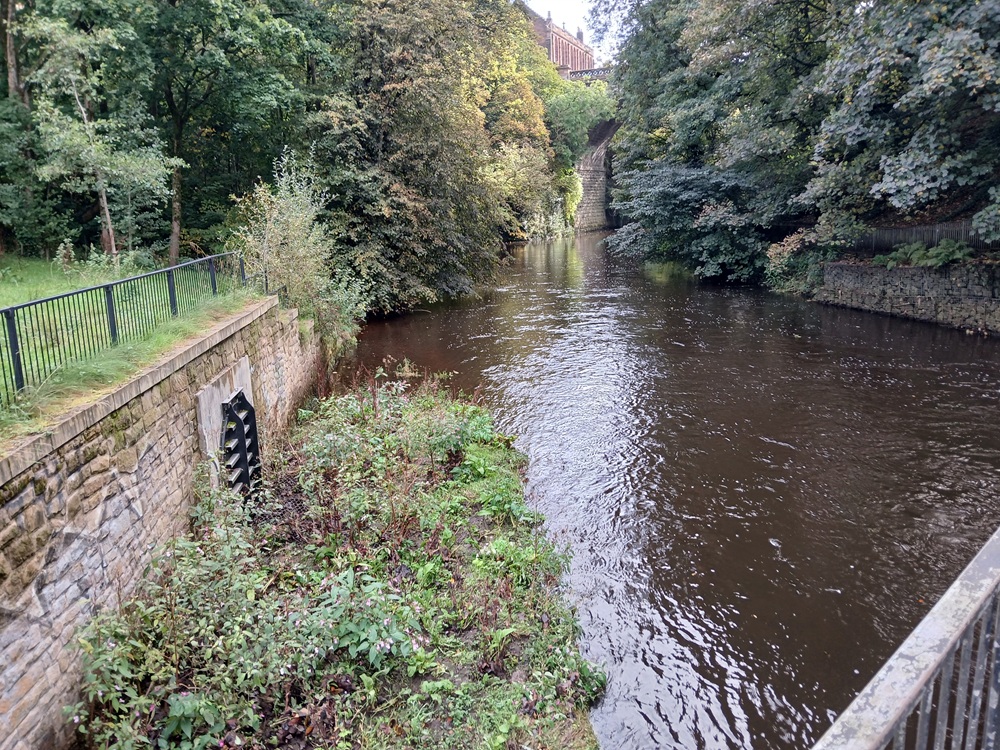
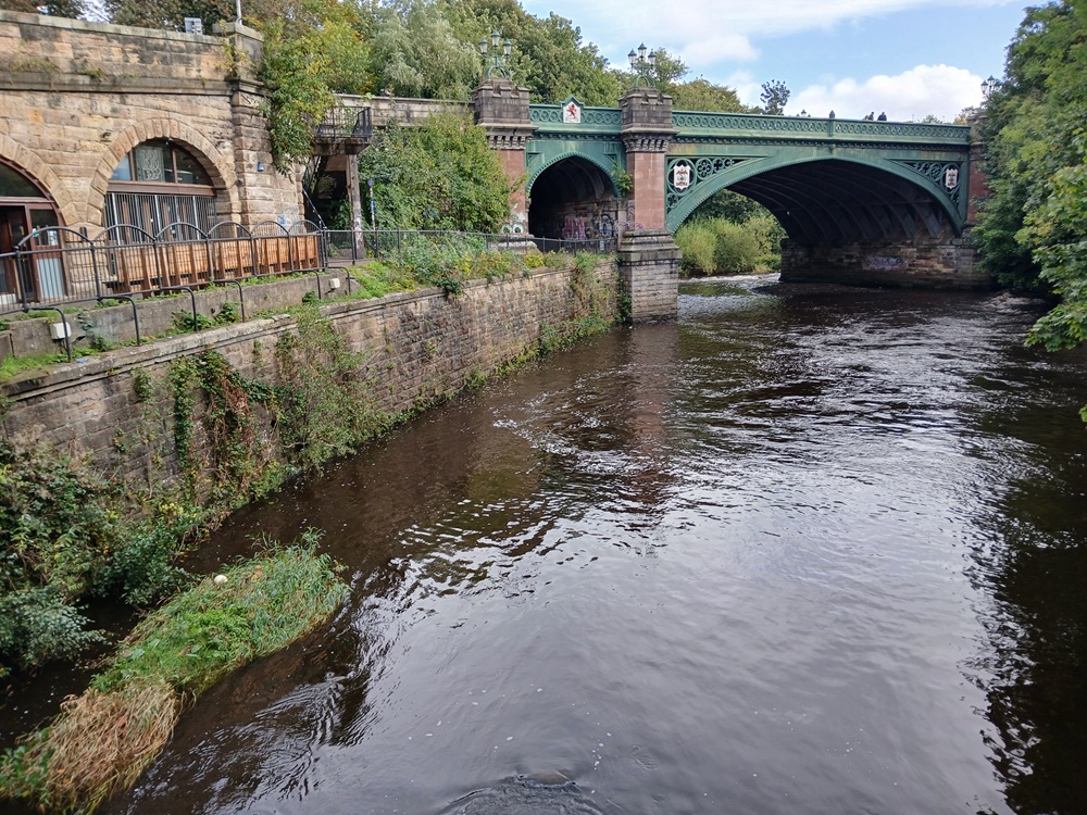
The path passes the Kelvin Hall and the path ends up in Ferry Road. Follow this road until the railway bridge. Cross under the railway bridge and then take the path to the right and then back again to River Kelvin and under the motorway bridge. Follow the path to the Transport Museum who, when open (it always is), has free entrance (and free public toilets). This museum is interesting and the staff is very friendly. It is well worth a visit.
Cross over River Clyde on the new'ish white bridge to Govan and the bus and underground station there.
Bus to Glasgow/Braehead/Paisley 6 times an hour.
Underground to Partick/Glasgow 6 times an hour.
Enjoy the walk !!