
Kilpatrick Hills
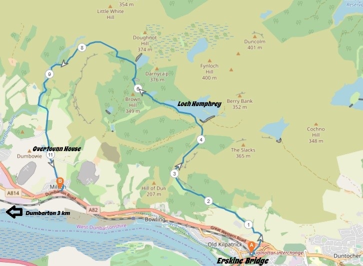
8 miles / 12 km
A pretty long walk on the western parts of the Kilpatrick Hills. The first part is a long climb. The second part is flat while the final third is a long descent past Overtoun House to Milton. This is a great walk, indeed.

Hard
This is a hard walk with a long climb and a long descent. Walking poles should be considered here as the descent is on a slippery grassy path. Plenty of water, protein bars/bananas and good shoes are required on this walk.

Train from Glasgow/Partick to Kilpatrick train stop 2 times an hour.
The walk starts from the Kilpatrick train stop. Unfortunately, with the steep staircase up and over the railway line if you arrive from Glasgow/Partick/Dalmuir. Head for the Mount Pleasant Drive over the bridge crossing Station Road and then follow that road to the signposts for Loch Humphrey. Follow these signposts.
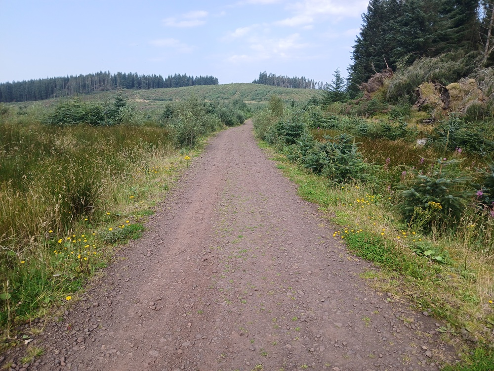
The route follows first a good small tarmac road and then gradually rises to a cattle grid and the gravel road.
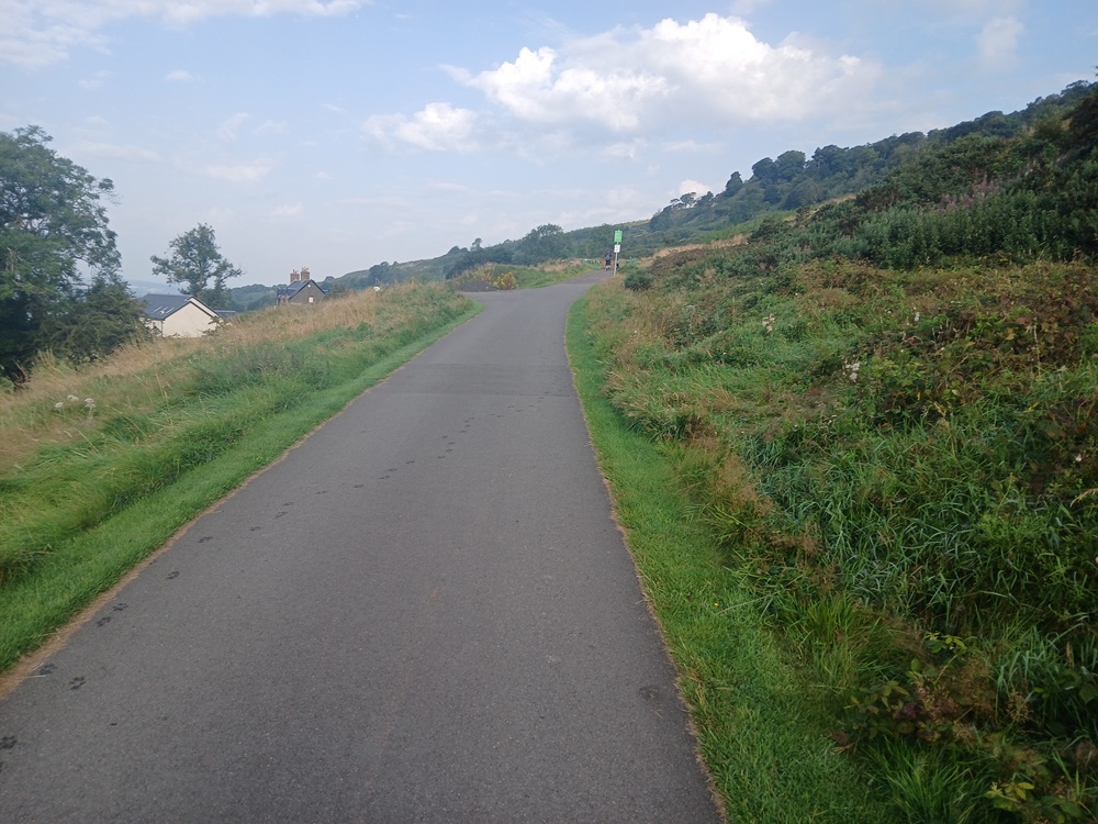
The gravel road steadily rises up along the hillside until it ends up at the foot of the infamous..... drum roll, please.... Cardiac Hill. This feels like the Hilary Step just before the top of Mount Everest. It is indeed the key to climbing The Slacks... Well, it feels like it. Cardiac Hill, which deserves it's name, is fiendishly steep, made a lot worse by the scorching sun and the loose gravel. The secret here is to follow the well-used grass verge on the left of this hill as this grass verge is not as loose as the gravel.
There is a helipad-like plateau at the top of Cardiac Hill where you can rest, admire the view and regain your composure. Well, that is what I do. There is a short, fiendishly sharp climb just above this helipad-like plateau which is actually steeper than the Cardiac Hill. But the road is more compact and does not have loose gravel. This hill is therefore easier than Cardiac Hill.
Congratulations is due here as you have now entered a flat bit in the canyon.
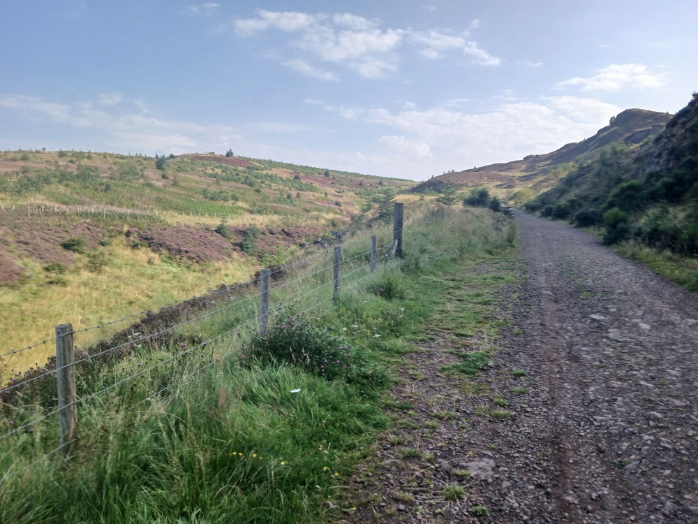
A left turn at the end of the canyon follows and the road is climbing again. At the top of this climb and just when the road is taking a 90 degree turn to the left again and then a right turn. Loch Humphrey now comes into view. Near the bottom of the descent to Loch Humphrey, take the path to the left, crossing the road.
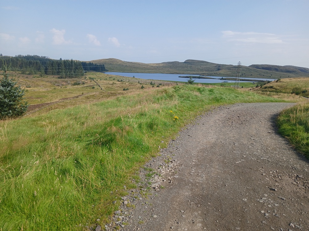
The path now takes you along this loch to the west side of the loch. This path is very good. Most of all, it is very scenic with some great views towards the lesser Duncolms. The path ends at a gravel road and a pretty uninteresting walk now follows. The very short detour to Greenland Reservoir to the right is well worth the effort.
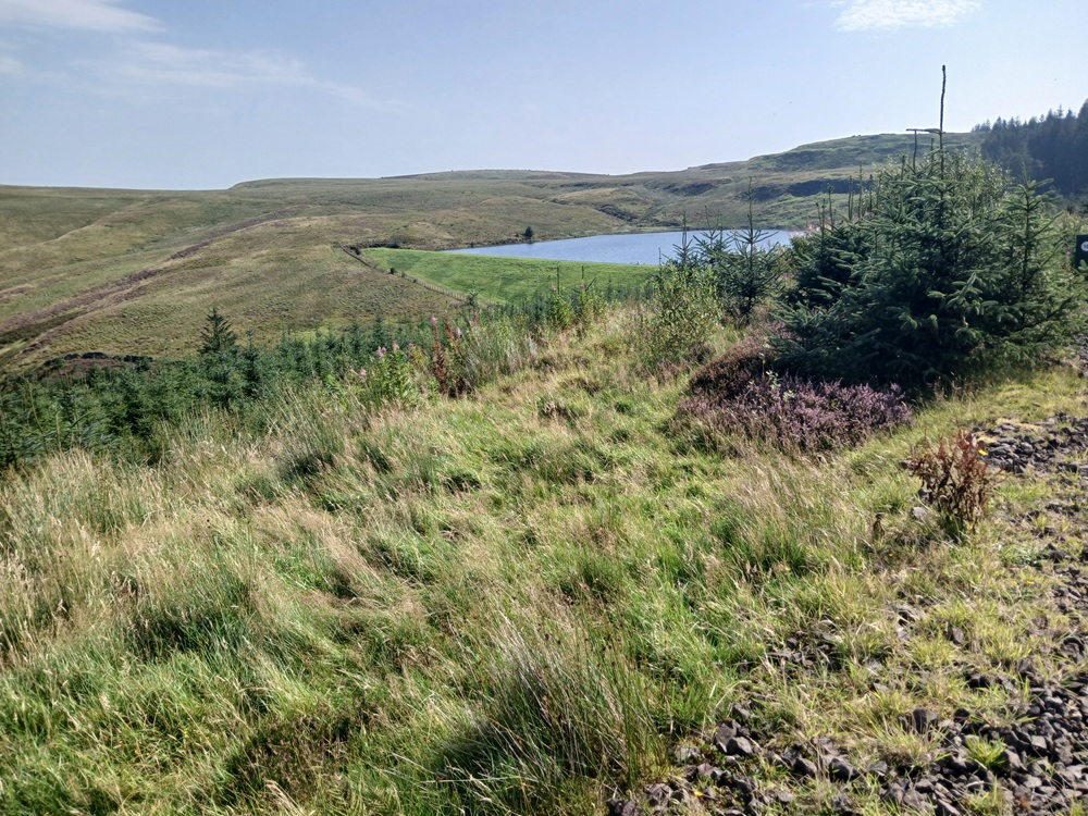
The gravel road ends with a bend towards left. The dam at Black Linn Reservoir to the right is another detour well worth the effort.
The road rises slightly before a path, badly marked path, takes the walk down some young pine trees to the right. This path is not easy to find so be careful.
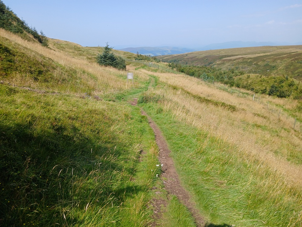
At the end of this descent, you are now on a grassy path. Take the lower path as this is the easiest down towards Overtoun House.
The views towards Dumbarton, River Clyde and Dumbarton Rock open up on the walk down this path. On the next crossroad in the path, just continue straight on down the grassy banks to the tarmac road at Overtoun House.
When reaching this road, the 200 yards/meters detour to Overtoun House and the impressive bridge at the other side of the car park is well worth the effort.
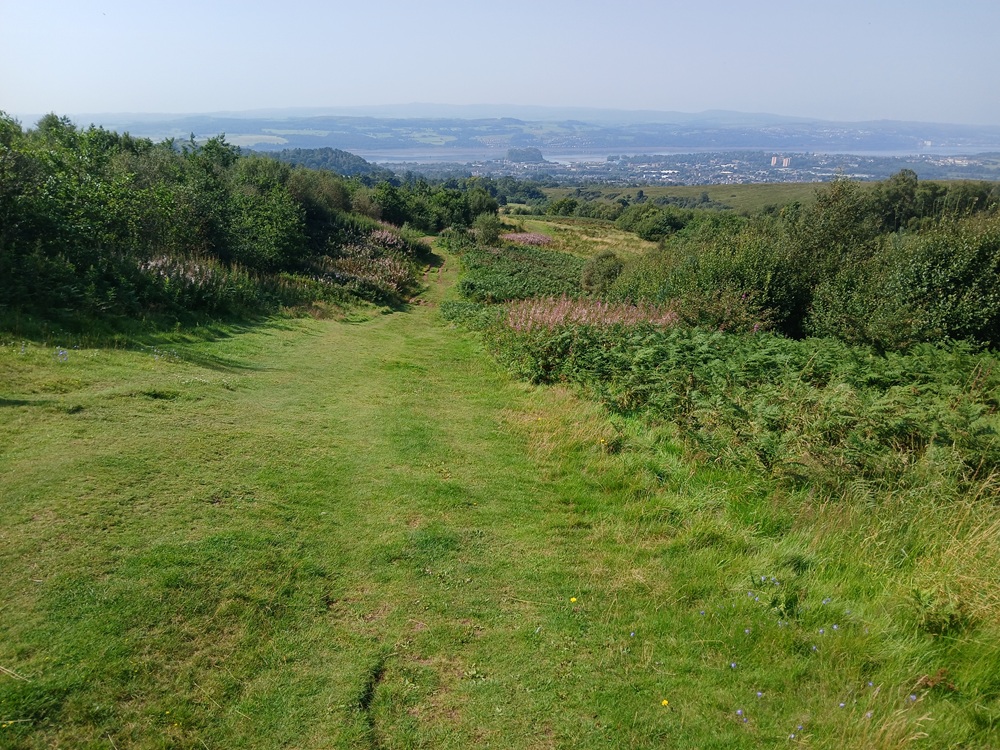
The road down to Milton rises a bit over a crest on a hill before it descends down to the Glasgow - Dumbarton road. The bus stop is to the right, 150 yards/meters from the end of the road. The walk ends at this bus stop.
Bus from Milton to Dalmuir/Clydebank train station 2 - 4 times an hour (there is a 300 yards/meters long walk between the bus stop and the train station).
Train from Dalmuir/Clydebank to Glasgow/Partick 2 - 4 times an hour.
Enjoy the walk !!