
Kilpatrick Hills

8 miles / 12 km
This is a serious hill walk. The views are excellent all the way here and the scenery is first class. This feels like a walk in the Highlands. This is great walk.

Hard
This is a serious hill walk with two very steep climbs. The climb up Cardiac Hill to The Slacks and the very steep climb from Greenside Reservoir to Cochno Hill. The surface is gravel, mud and grass. Bring plenty of water and protein bars on this walk. Walking poles and good rambler shoes are an advantage here too.
Due to the muddy nature of these hills, it is a good idea to wait with this walk until 2-3 days of sunny weather so the bogs get the chance to dry out.

Train from Glasgow/Partick/Dumbarton to Kilpatrick on the Balloch line 2 times an hour.
The walk starts from the Kilpatrick train stop. Unfortunately, with the steep staircase up and over the railway line if you arrive from Glasgow/Partick/Dalmuir. Head for the Mount Pleasant Drive over the bridge crossing Station Road and then follow that road to the signposts for Loch Humphrey. Follow these signposts.
The route follows first a good small tarmac road and then gradually rises to a cattle grid and the gravel road..
The gravel road steadily rises up along the hillside until it ends up at the foot of the infamous..... drum roll, please.... Cardiac Hill. This feels like the Hilary Step just before the top of Mount Everest. It is indeed the key to climbing The Slacks... Well, it feels like it. Cardiac Hill, which deserves it's name, is fiendishly steep, made a lot worse by the scorching sun and the loose gravel. The secret here is to follow the well-used grass verge on the left of this hill as this grass verge is not as loose as the gravel. See the next two pictures.
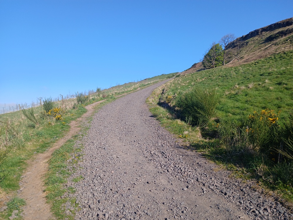
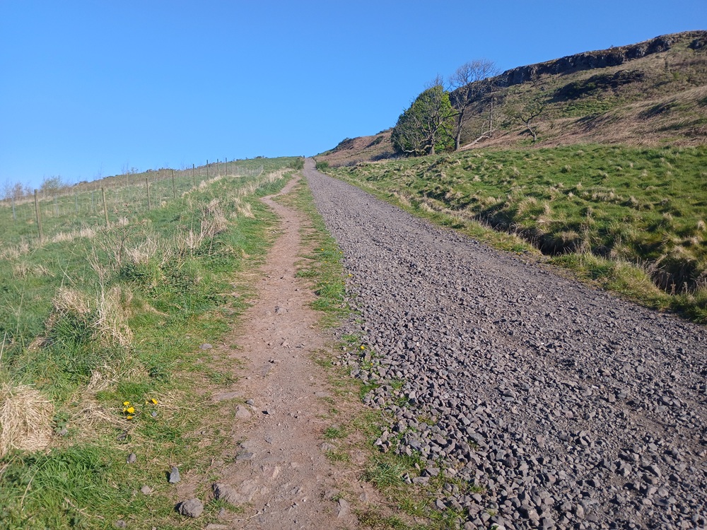
There is a helipad-like plateau at the top of Cardiac Hill where you can rest, admire the view and regain your composure. Well, that is what I do. There is a short, fiendishly sharp climb just above this helipad-like plateau which is actually steeper than the Cardiac Hill. But the road is more compact and does not have loose gravel. This hill is therefore easier than Cardiac Hill.
Congratulations are due here, as you have now entered a flat stretch in the canyon. A left turn at the end of the canyon follows, and the road is climbing again. At the top of this climb and just when the road is taking a 90-degree turn to the left again, you now have to keep an eye out to the right for a path going off the road down and over a small burn. This is where you should use your walking poles until you arrive at the road just before Faifley.
The track here splits into two parts. One straight up the hill and one far more gently on a terrace going straight south. Follow this path which is a bit scarred by bike wheels but otherwise OK.
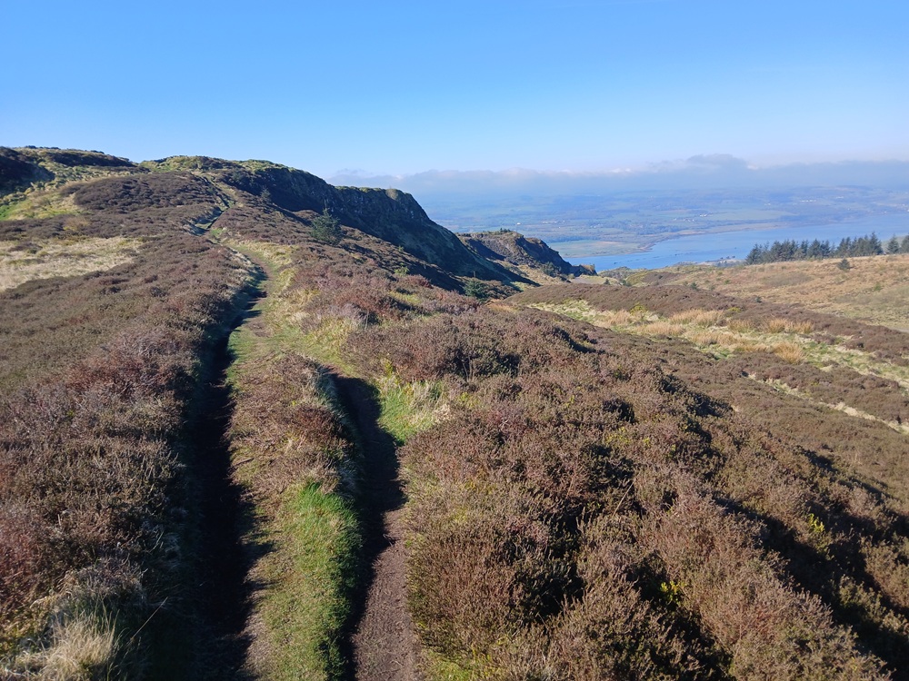
The path heads south on this terrace before it crests a hill and then turns 180 degrees to the north on a ridge. Follow the ridge until the top of the ridge. The 360-degree views are excellent. To the east, 1 mile/2 km away, you can glimpse a trig point at The Slacks.
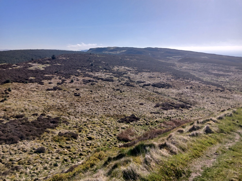
The walk over this moor is a bit bumpy with a couple of false summits, including some short and steep climbs, along the way. The walk is also very exhilarating. This walk is a "top of the world" like walk. It is perhaps the funniest, most exhilarating walk in the whole of Strathclyde. The top of The Slacks only comes into view a couple of hundred meters away from the top. Rest and feel fantastic at the top. The views over Glasgow is just fantastic and the best in the whole of the Clyde valley.
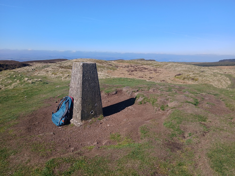
The walk down the grassy path towards Greenside Reservoir is on a broad ridge and never really exposed. The walking poles are a very good support here as there are some slippery grass on this descent. Use the heather bushes as a good way to descend safely.
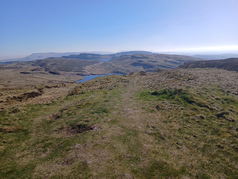
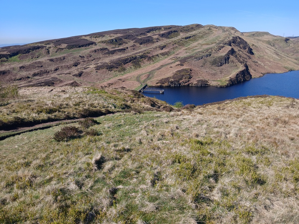
The descent takes you down to the dam after negotiating the final, pretty steep descent. This dam is just a short respite before the vertical climb up towards Cochno Hill. The path goes up between the two masts in the middle of the picture below.
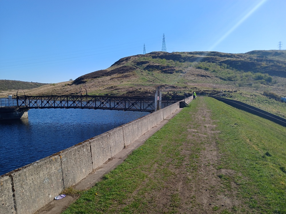
The next two pictures are from the top of the steepest part of this climb, looking back at the path, Greenside Reservoir and The Slacks. A brutal, brutally steep climb it is too.
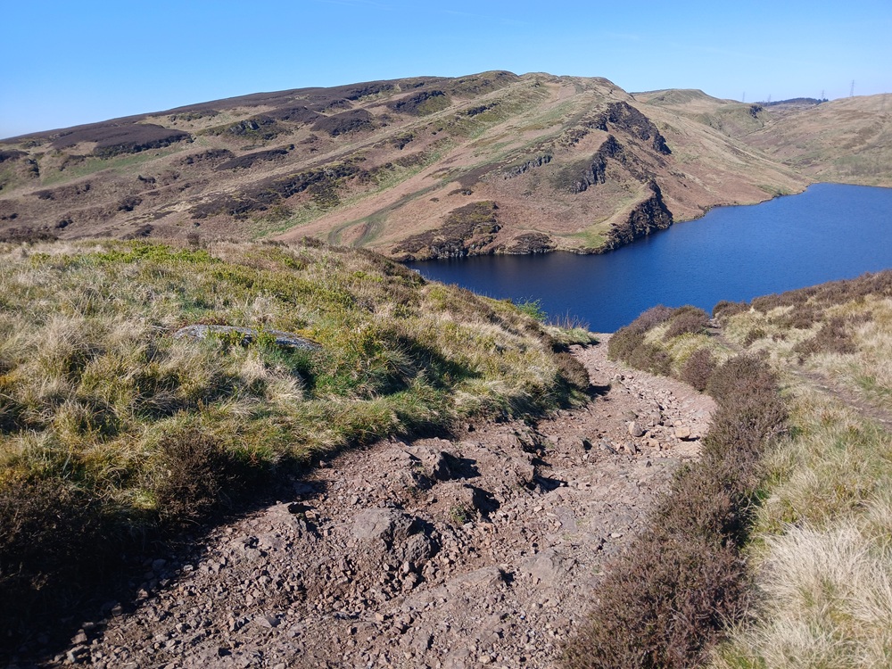
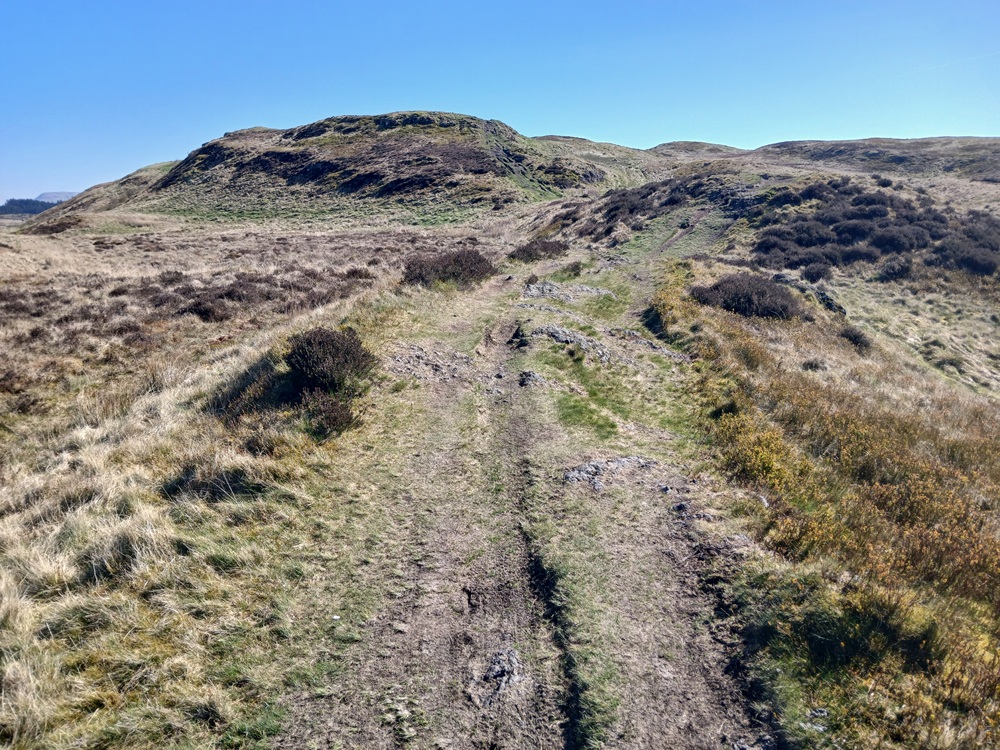
There is still some pretty steep climbing to do before the path ends up just below Cochno Hill. See the two pictures below.
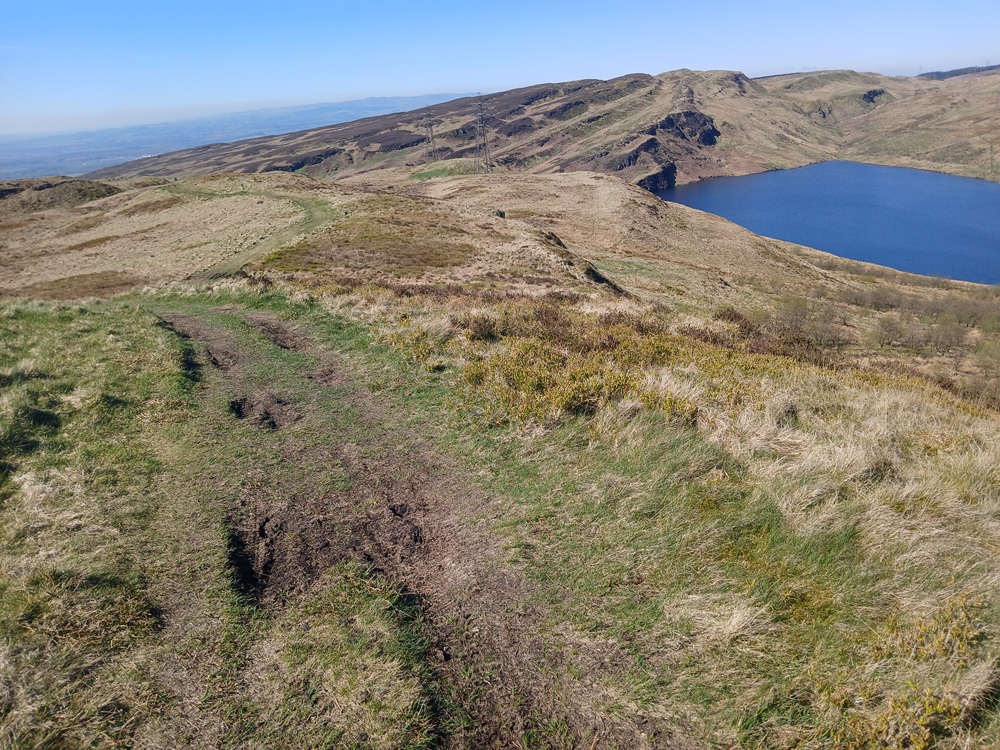
At the end of the climb here, take a path to the right up a steep hill. Then the top of the Cochno Hill comes into view. Both pictures below are from this top.
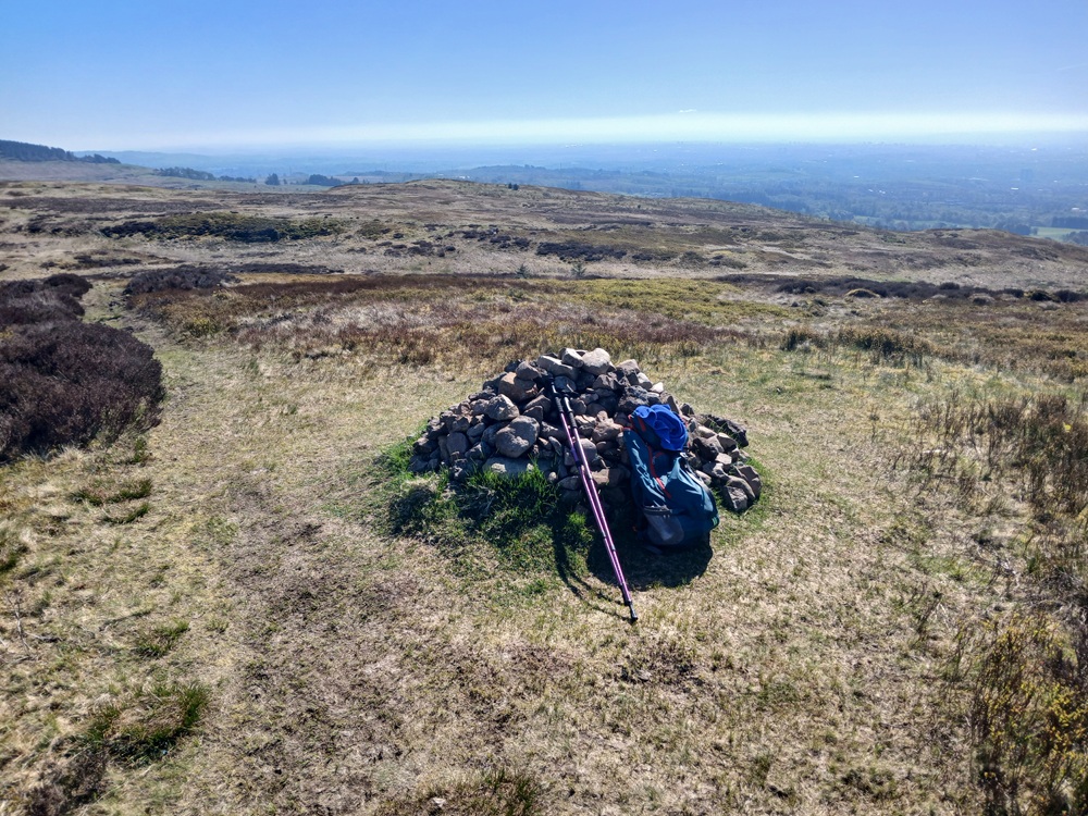
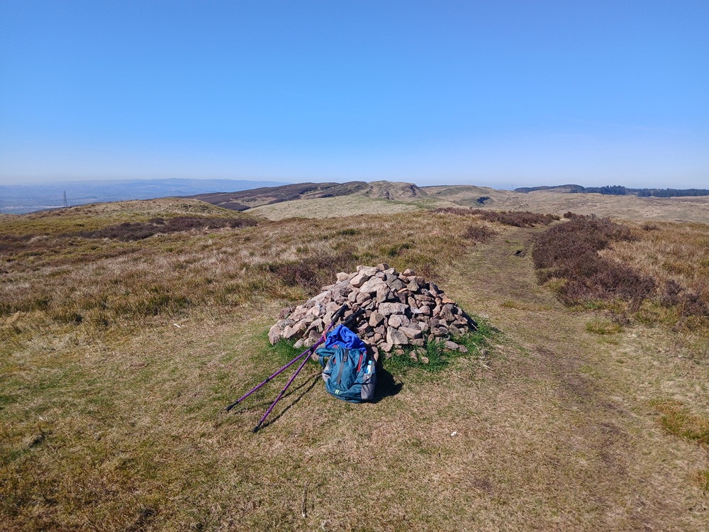
The path just below Cochno Hill is a bit boggy with some wet parts. The walking poles comes in handy here. The path down towards Cochno Loch and Jaw Reservoir is a bit too muddy for my liking.
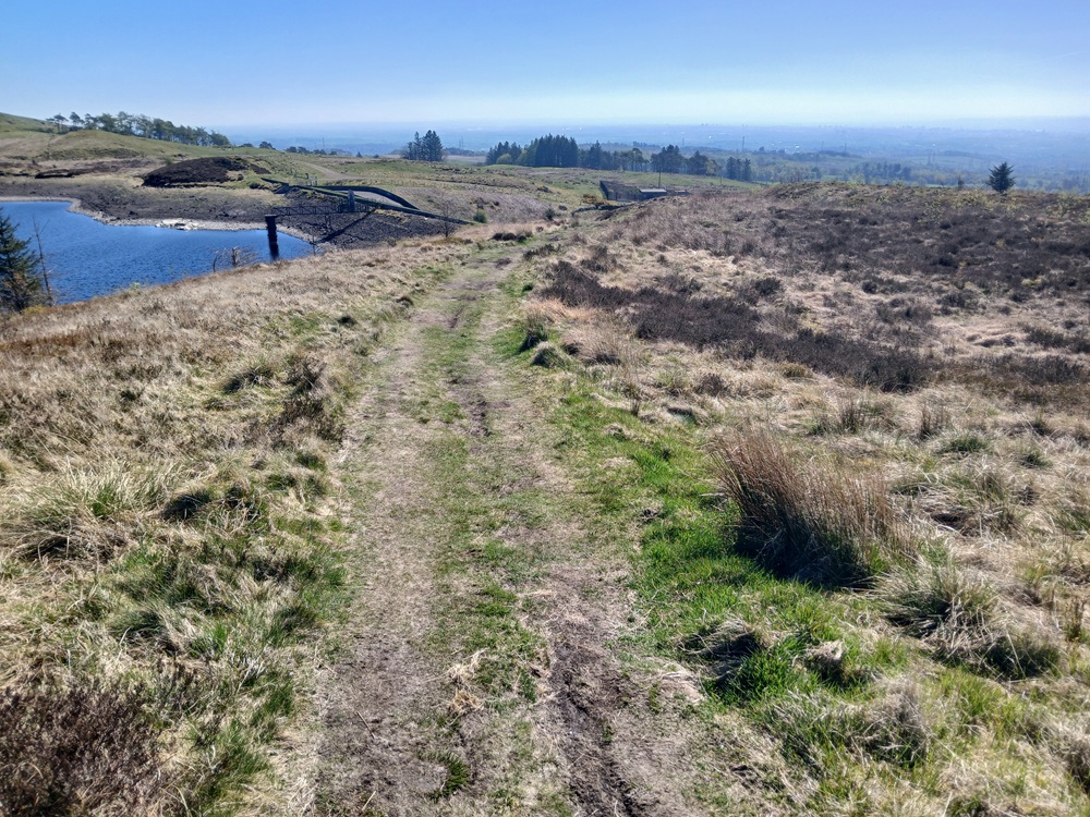
The path down to Faifley is going down the right just before the dam at Jaw Reservoir. It is well worth taking this 100 yards/meters detour to the dam and admire the scenery before retracing your steps back to the path down to Faifley.
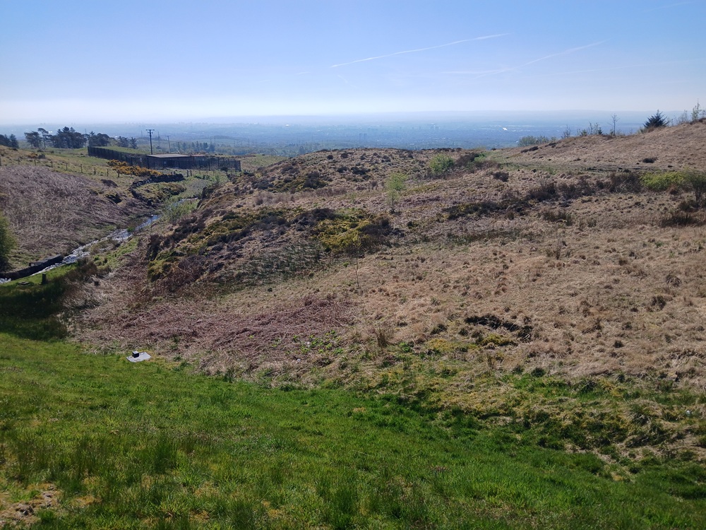
The path down the hill on the grassy path is pretty steep through a couple of gates and next to the fences on a farm field.
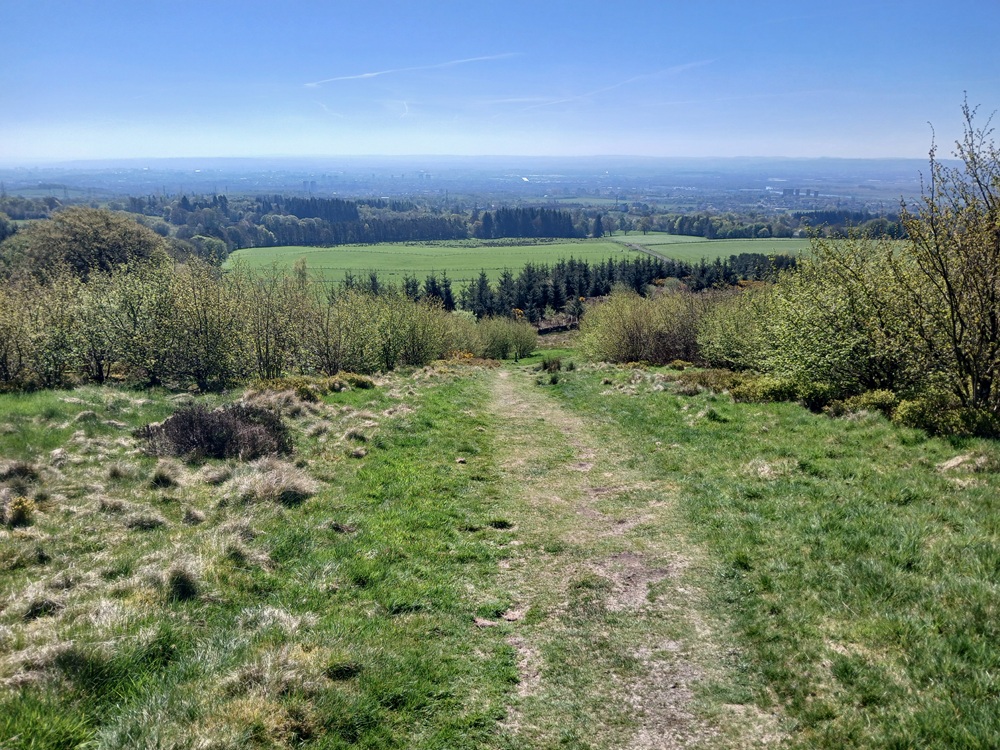
The path is well signposted all the way and the walk is pretty easy down to Craigpark Street. At the next crossroad at Faifley Road, take this road to the right to the bus stop 100 yards/meters down this road where this walk ends.
Bus to Bearsden/Maryhill/Glasgow Central Station 2 - 4 times an hour.
Enjoy the walk !!