
North Ayrshire - Renfrewshire
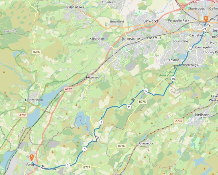
13 miles / 22 km
This walk crosses over the farmlands and the moor between Beith in North Ayrshire and Paisley in West Renfrewshire. With the exception from the first 2 miles / 3 kilometers and a half a mile / one km short piece in the middle of the walk and towards the end of the walk, the road follows narrow tarmac roads. Most of them have been used on other walks featured in ClydeWalks.
There are only a couple of long climbs here. The walk is hard because it is so long. This walk is scenic and goes off the beaten track in both North Ayrshire and Renfrewshire. It is therefore an interesting walk.

Very Hard
This is a long walk with a couple of pretty long climbs. The first one starts in Gateside. The second one is on the Sergeant Law up the top of Gleniffer Braes. Most of the walk is flat and moderately undulating. The surface is tarmac and pavements. Use good shoes here. Bring plenty of water and protein bars. Some of the walk crosses a moor and is very exposed to the wind, rain and sun. Sunscreen and warm clothes are a necessity here.
It is also very advisable to bring a mobile phone with an online map on this walk because of some unmarked crossroads. It is vital that you choose the right roads at these crossroads although I hope this guide is good enough.

McGill's Bus 904 from Paisley Abbey to Beith, 1 time an hour.
Jump off the bus at the Beith Laigh Road bus stop. Ask the bus driver or follow the advice from the onboard announcer or TV screen. Take the road to the left, back up the road from the bus stop and then the first road to the right, Wilson Street. Then after 100 yards/meters, take the first road to the left, Mitchel Street up the hill where it changes name to Head Street. Continue on this road to the Beith bypass road. Cross this busy road and go straight ahead, choosing the pavement on the left side of the road. This road should be signposted Gateside and Lugton. The walk on this pavement to Gateside is pretty scenic. See picture below from a very early morning walk.
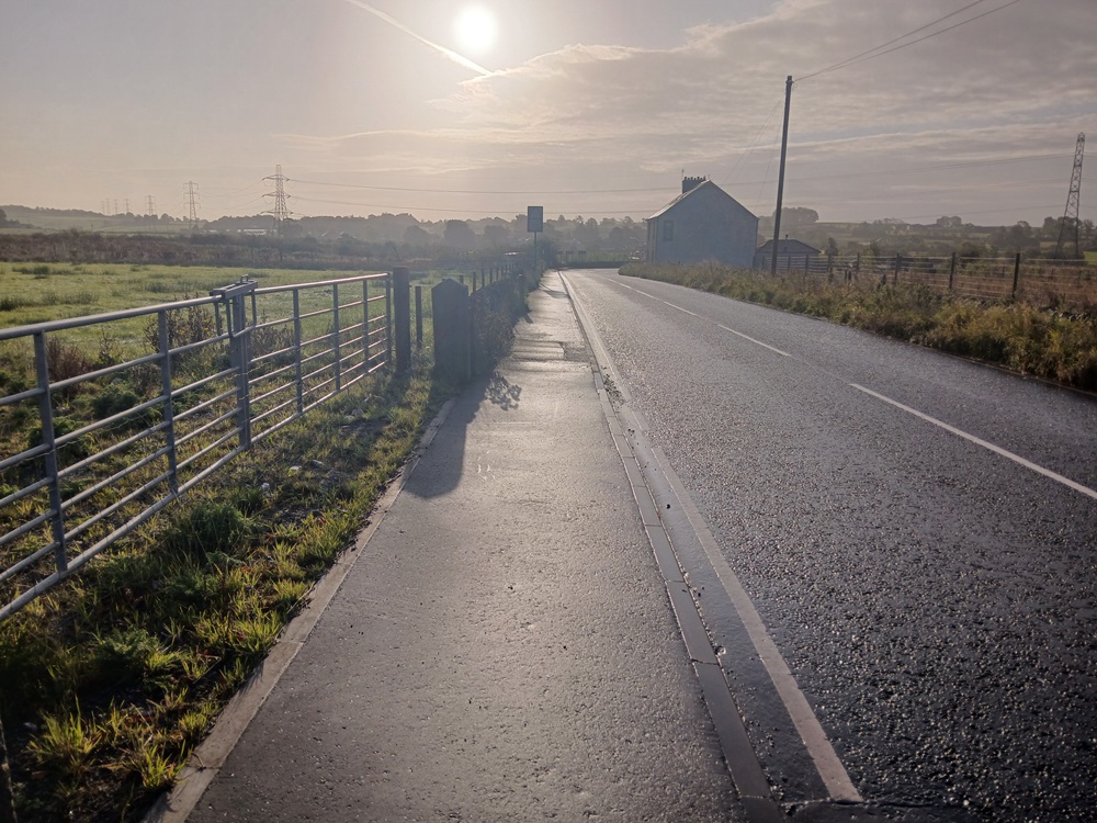
Gateside too is a nice hamlet and worthy a visit. The road becomes pretty steep after this hamlet and the pavement disappears up to the first crossroad of the day. The crossroad is marked Balgray Bonds. Don't take this road. Continue straight on up the hill and beware of some traffic here. The road crests a hilltop before it starts to fall down to a river valley again. An unmarked road goes up to the left just before the road crosses this valley. See the crossroad below.
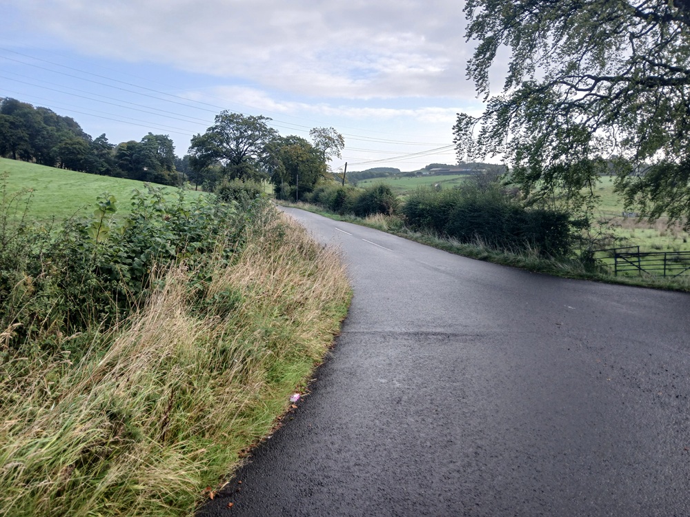
At the next crossroads 300 yards/meters up this road, go straight ahead on the narrow road to the left. The road climbs up a small, tranquel glen as the picture below shows.
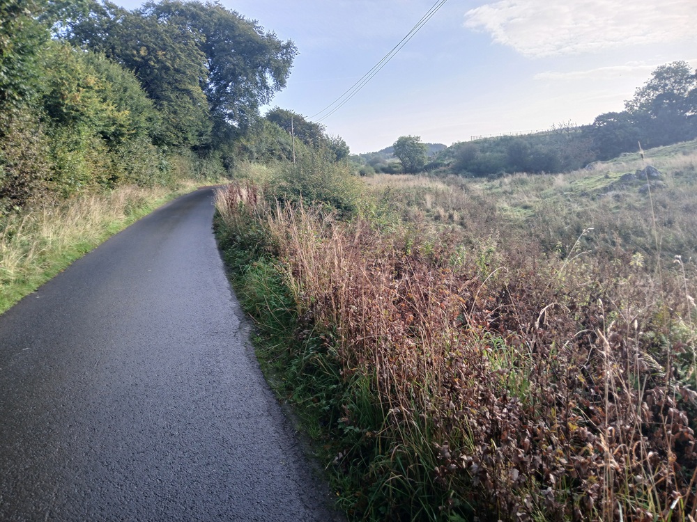
The glen is first narrow past a small dam/loch before it opens up into some farmfields. At the next crossroads next to these farmfields, take the road to the right. This road ends up on the Lugton - Howwood road. Take this road to the left for half a mile / 1 km to a white house on the left and a small forest to the right. Take the small road to the right just before this forest, up a small climb. The road now climbs up a narrow scenic glen. This glen is a fun, good walk. I have seen roe deer here in addition to cows and sheep.
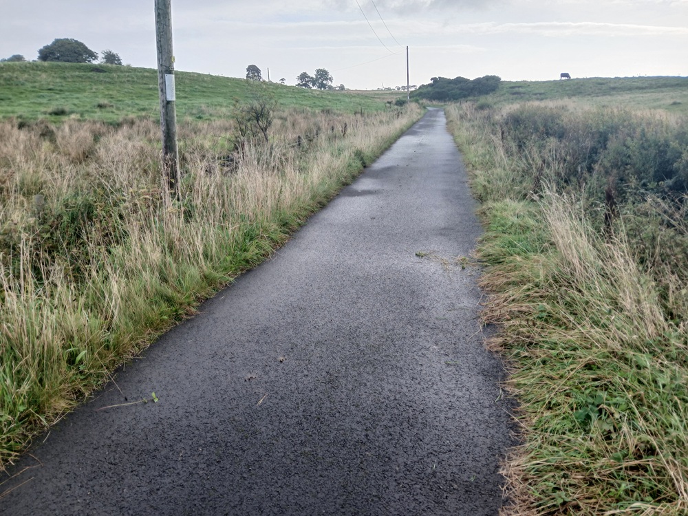
This road is undulating for the next couple of miles / 3 km and is good fun with some great views. The views over the Balgray Reservoir and the hills to the west are best just after the next crossroad (where you continue straight on). Stop here, take a break and enjoy the scenery. You have deserved this break and these views...
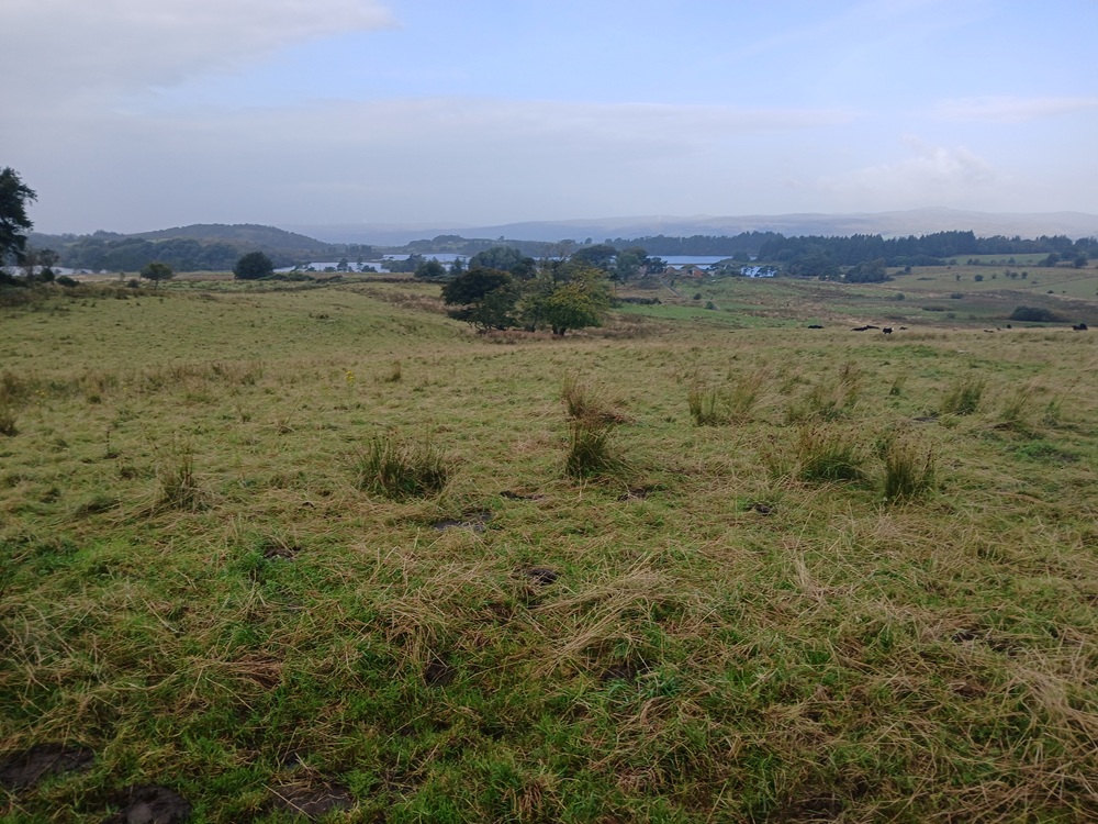
The road, Overton Road, ends up at a crossroad. This road comes up from Howwood. Take this road to the right up a small climb. The views are really scenic here over this moor.
The road ends up at Hartfield Moss Road. At this crossroads, take the road up between the old trees to the left. Please stop for a minute and bow your head in respect at the memory plaque to the left on this road. We shall remember you.
The road takes the walk past a farm and the Hartfield Boarding Kennel before it turns to the left and then right again down the hill towards a new crossroad. Continue on the road through this crossroad down to a small bridge and up the hill to Gleniffer Road.
Cross the road here and continue up a small hill on Caplaw Road past a farm before the road drops down to some farm fields. At the end of this road, at a new crossroad, take ther Sargeantlaw Road to the left where you are facing the hardest climb on this walk. See picture of this climb below..
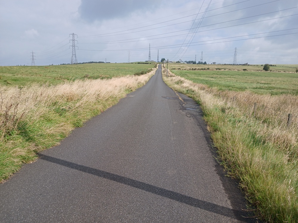
The climb is rather short but still hard as it comes almost 10 miles / 16 km into the walk. Stop and fuel up with some drink and protein bars before cresting this hill. There are some good views on the other side of the hill. Good views over Paisley and Renfrew. See picture below.
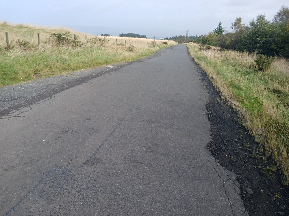
The road now descend down to Gleniffer Road. First gentle past some grazing Highland Cows (if lucky) and then very steeply down to Gleniffer Roads. Take the road to the right here down the pretty heavy traffic ridden Gleniffer Road. There are no pavements for the next half a mile / one kilometer so be very careful here.
Just after the Welcome To Paisley signpost, the pavements starts again. Choose the pavements to the right of the road and walk the road straight a head past the crossroads from Foxbar and Glenburn. Ignore the temptation of the buses and walk down to the bottom of the hill.
This walk now have a pretty nasty sting in the tail. Yes, that means two pretty hard climbs on the Stanley Road up to Brodie Park (to the right) before the walk descends down Park Road and then Calside to the crossroads at Causeyside Street. Take the road to the left down to Paisley Canal and the big crossroads at Canal Street. Cross this street at the traffic lights and continue down Causeyside Street to the Paisley Town Hall where this walk ends.
Train from Paisley Gilmour Street to Glasgow 6 times an hour.
Enjoy the walk !!