
Ayrshire, Renfrewshire
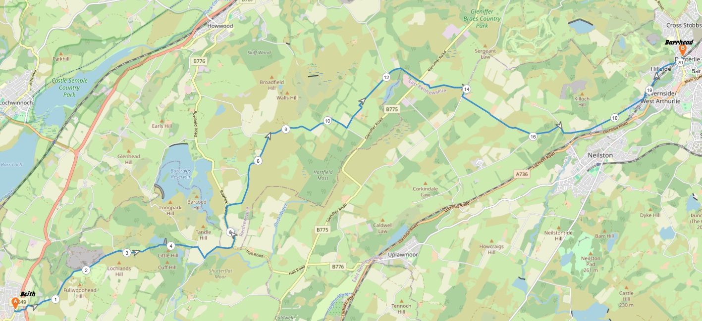
13 miles / 20 km
This is the crossing of the Gleniffer Braes from south-west to north-east. It is a great walk in itself but also a great physical test. A test I did nine months after a life-improving major operation (thank you, NHS). This is a long, long walk with some great scenery. It is a walk with lots of good, small roads too. It is a walk well worth the effort. Please note the pictures were taken on a rainy day.

Very Hard
This walk is a hard to very hard walk. Very hard because of the distance covered. The biggest climb here is the climb up the clubhouse at Beith Golf Course. A steep, hard climb. There are a lot of shorter, steep climbs too throughout this walk. Most of the walk is undulating with some flat pieces of roads in the middle. The surface throughout this walk is tarmac. Good shoes and a lot of water are required.

McGill's Bus 904 from Paisley Abbey to Beith 1 time an hour.
Step off the bus at the first bus stop in Beith, a church now the Roebank Hotel. Walk up the road to the left, the Trinity Crescent to the Beith bypass/the Paisley - Kilwinning main road. Cross this and take the small road on the other side, Threepwood Road. A flat road in the beginning before a left bend where the road starts to climb steeply to the Beith Golf Course and the clubhouse.
The road continues to climb past the clubhouse to the crest of a hill with the Loanhead Quarry to the left. The road now descends into a small glen.
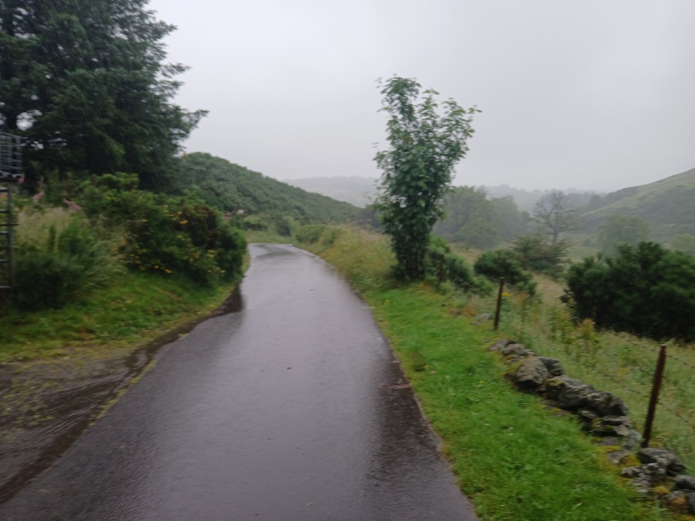
This glen is scenic and the road is very undulating with a couple of short, steep climbs before the dam at Kirkleegreen Reservoir.
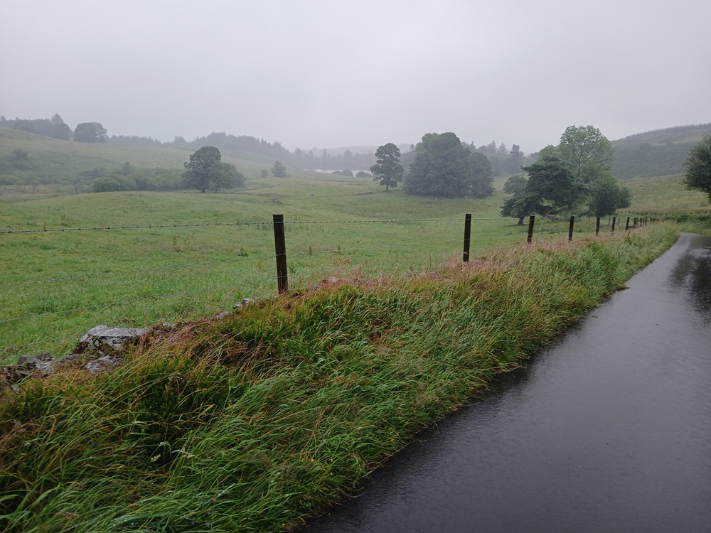
The road rises again after this dam towards another hill before the a crossroad. Take the road to the right here, down to another glen. At the crossroad in this glen, take the road to the left again along the floor in this glen and up a climb to the Howwood - Lugton main road.
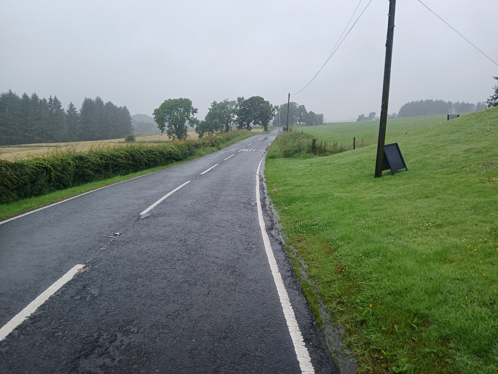
Take this road to the left for half a mile / 1 km to a white house on the left and a small forest to the right. Take the small road to the right just before this forest, up a small climb. This road is undulating for the next couple of miles / 3 km and good fun with some great views.

The road, Overton Road, ends up at a crossroad. This road comes up from Howwood. Take this road to the right up a small climb. The views are really scenic here.
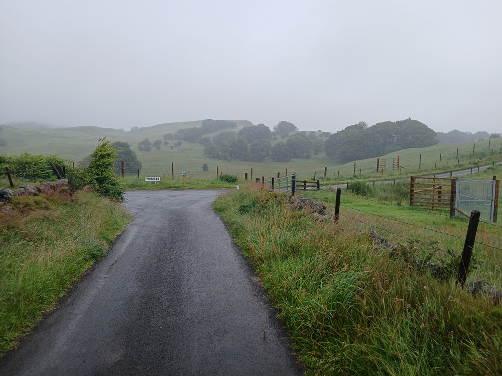
The road ends up at Hartfield Moss Road. At this crossroad, take the road up between the old trees to the left. Please stop for a minute and bow your head in respect at the memory plaque to the left on this road. We shall remember you.
The road takes the walk past a farm and the Hartfield Boarding Kennel before it turns to the left and then right again down the hill towards a new crossroad. Continue on the road through this crossroad down to a small bridge and up the hill to Gleniffer Road.
Cross the road here and continue up a small hill on Caplaw Road past a farm before the road drops down to some farm fields. At the end of this road, at a new crossroad, take ther Sargeantlaw Road to the right for 150 yards/meters and then the Greenfieldmuir Road to the left. This road rises first up a hill before it become undulating before it reaches Fereneze Road. This crossroad has some good views towards both Glasgow and Neilston.
Take the Fereneze Road down to the left and continue on this road steeply down the hill to a small white bridge and the sewerage works there. A steep climb takes the road up a new hill where it descends down to the village of Gateside. The road climbs again a bit after the end of this village before the road changes name to Gateside Road. Just before Barrhead, a small cycling/walking path goes down from a right bend to some bus stops at the Barrhead - Paisley main road and the Barrhead train station. Take this path under the railway line down to the main road where this walk ends.
Train to Glasgow 2 times an hour.
McGill's Bus 51/66 to Paisley 4 times an hour.
Enjoy the walk !!