
Lothian
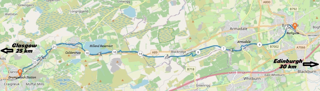
16 miles / 25 km
The Airdrie - Bathgate path was established sixteen years ago, in 2010, when the Airdrie - Bathgate railway link was re-opened again (closed in 1982). The path mostly runs parallel with the railway line. I spotted this path from the train some months ago when walking the Union Canal and really liked what I saw from the 100-mile-an-hour train.
I had also cycled through the area 20 years ago on the road and had noted the area as one I would like to visit again. There are frequent trains on this line and it is easy to get to my start point, Bathgate from Glasgow Queen Street lower level. Hence I had no excuses to not walk this path..
I have been more than critical of the standards of the paths here in Scotland over the last couple of years. The standard of this path is the best one I have yet to encounter in Scotland. The scenery may not be the best. The tarmac and surface are excellent, though. That itself is a reason why I would recommend this path. Maybe not the full length, though. The path from Armadale/Blackridge to Caldercruix offers the best scenery and is recommended.
The landscape is mostly open moorlands, exposed and wild. The perfect weather for this walk is overcast to sunny. This walk is best undertaken during late spring or early autumn.
My main impression of this walk is that it is an interesting, unique walk and one that should be on anyone's bucket list. Add this walk to your to-do list/bucket list. I will probably repeat this walk again.
There are shops in Bathgate, Armadale, Caldercruix and in Plains.
The path is well signposted. But keep an eye on the mobile phone map just after (100 yards/meters) the Caldercruix railway station, as the (very critical) bridge over the railway is badly signposted and easy to miss.

Very Hard
The path is pretty flat with only a height difference of 230 feet / 70 meters between the lowest point at the start of the path in Bathgate and Hillend Reservoir. But there are numerous short, steep hills and lots of undulations on this path. Most of the walk is undulating. The length of the walk is the reason why this is a very hard walk. Bring plenty of drink, gels, high protein bars, midge repellent (if doing it in summer) and good shoes here. The path is tarmac and the tarmac is excellent.

The Edinburgh train from Glasgow Queen Street lower level to Bathgate 4 - 6 times an hour.
Leave the train at Bathgate train station and walk through the ticket barriers in the station building before entering the car park outside the station. Take the Edinburgh Road / Kings Road to the left through Bathgate for the next 300 yards/meters to the town square. At the crossroads there, take the road to the left, signposted Whitburn B70002. That road takes you down a hill past Iceland and Lidl. It is a good idea to stock up on drinks and protein bars at Lidl or Iceland before continuing. Choose the pavement on the left side until you reaches the lowest point of the walk and then the start of this path. The start is well signposted. Follow the signs as it takes you under the railway and then up to the right, along the railway again. The path follows a disused road before it becomes a good tarmac path. The path enters a housing estate and follows the pavement to the right of this road, Birniehill Avenue, before it takes of to the right again after the signpost for Airdrie.
The path follows the railway line for the next 500 yards/meters before it crosses the railway line on a bridge and crosses back towards Bathgate again for 100 yards/meters before a 180 degrees sharp corner where it crosses under this bridge and continues on it's way to Armadale/Airdrie. Yes, a bit quirky... The path follows the railway line the one mile/two kilometres up to Armadale. The scenery here is not particularly interesting.
At Armadale, the path follows the pavement to the left of the road. I would suggest staying on the pavement to the right of the road, up a pretty steep climb, to avoid the traffic chaos at the first roundabout and then crossing over to the pavement to the left of the road at the Arnold Clark/Citroen shop. After this shop, take the road down to the left where you find the signposts for the path to Airdrie again. Follow this signpost down to this very informative sign...
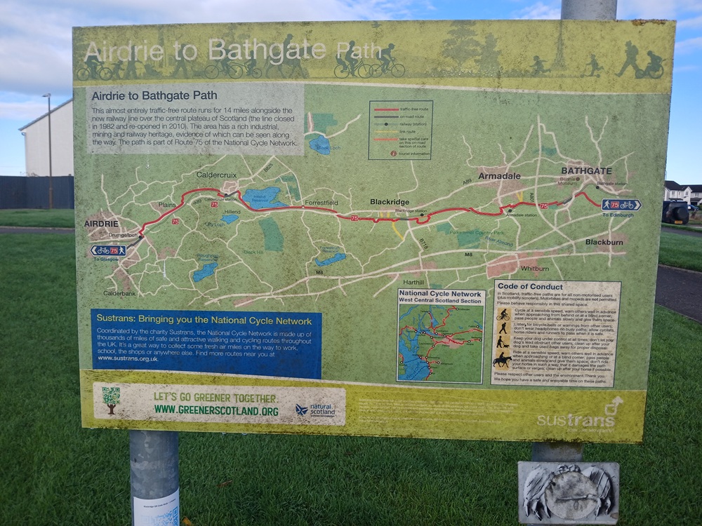
In the case you did not know what you were heading for, this signpost removes any doubts. The path follows the railway line here on this now pretty undulating path, past the last houses in Armadale and into the wilderness and the open moorlands. The landscape starts to open up a lot too. The walk now becomes pretty interesting. At the Stonedridge Railway Bridge, follow the signposts under the bridge on the pavement and then take the signposted path up a short, steep hill to the best viewpoint of the walk... See picture below.
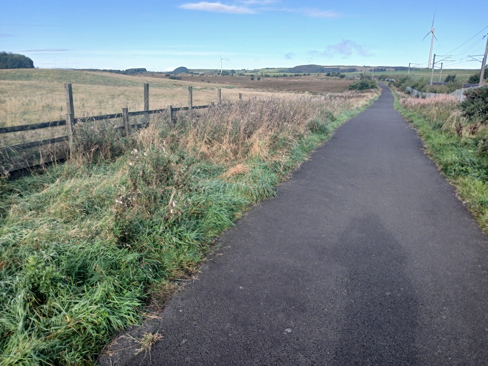
The walk on this path towards Blackridge is mostly flat but with a couple of climbs. The landscape is wild and pretty impressive. After one mile / two kilometers of exposed walking, the path crosses under a bridge and past a farm. 500 yards/meters past this bridge, the path goes of into an almost tropical forest to the left. Follow the path as this part of the path is flat, but pretty funny too. It is also a welcome break from the railway line and it is bypassing Blackridge...sort of. A part of the Blackridge village can be spotted in this picture below.
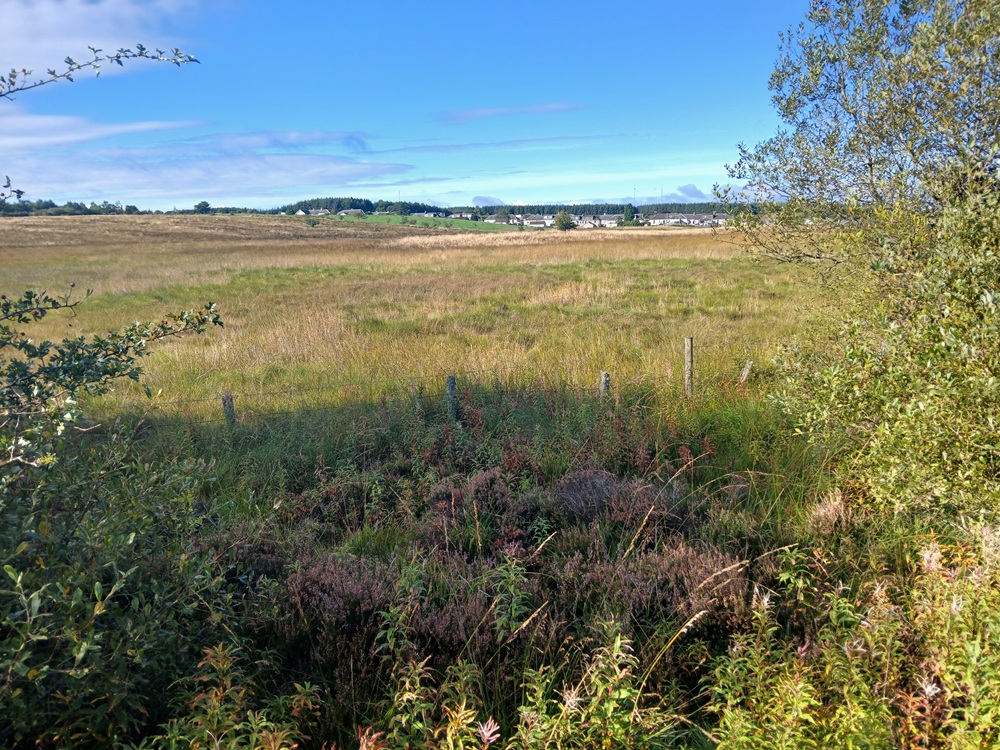
Just before the path enters this village, there is a memorial bench, which is a good place to take a break/pause during the walk. The path through this short walk through the village, on Station Road, is well signposted. Follow the right or left pavement up a small hill before the path rejoins the railway line again. The path do a small detour half a mile / one kilometre after the village, but the path is still well signposted. A welcome detour, it is too. The next two pictures is from the path between this detour and the bridge over the railway line, one mile / two kilometres further on. The pictures speak for themselves.
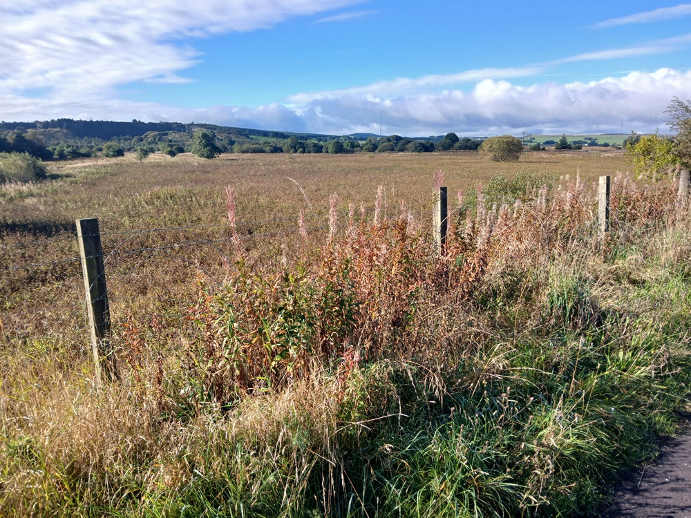
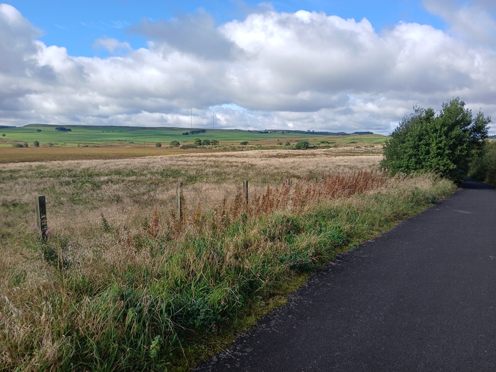
The path crosses the railway line again and there is a bit of a descent after this bridge; This is also the halfway point of the Bathgate - Airdrie path. The path now climbs a bit again before and after it crosses under the main road, the A 89. There is a pretty big climb after this underpass.
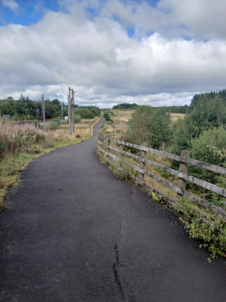
The path goes through a small forest and then over some moorlands. The landscape up here is wild, exposed and unforgiving.
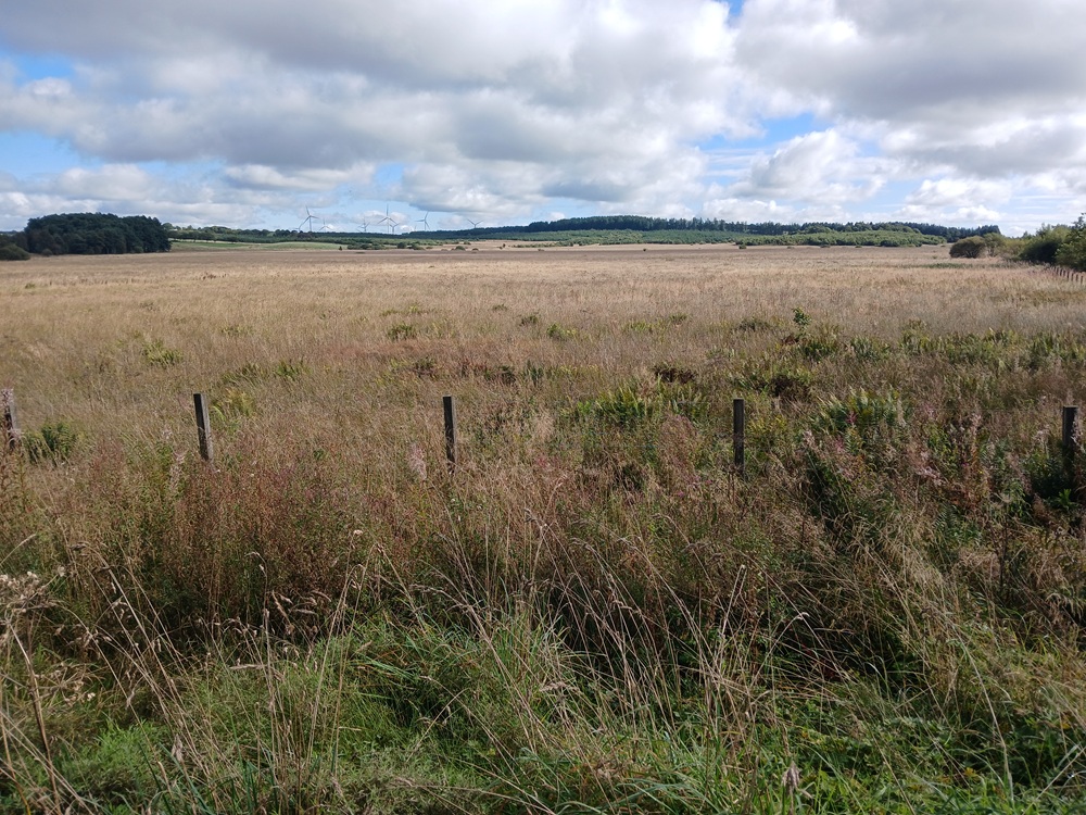
The path takes a short detour to the right. The path then crosses the Woodside Road before the final 150 yards/meters up to the start of the Hillend Reservoir.
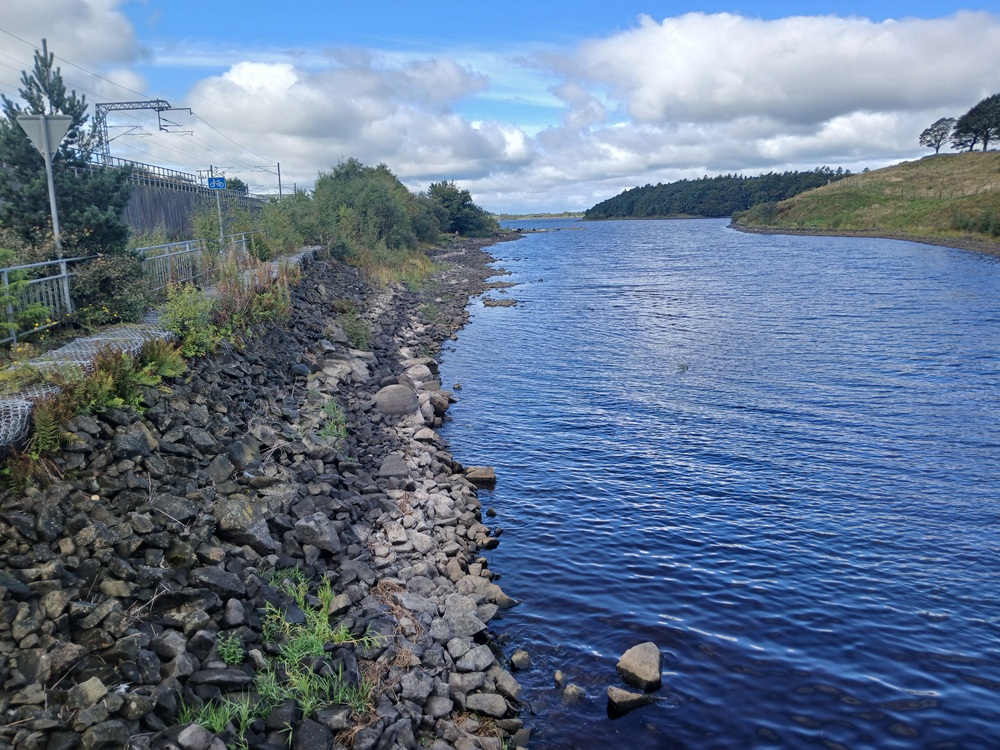
The walk along this reservoir is undulating and exposed. There are some good views here too over the reservoir and the hills towards Falkirk. The tops of the Ochil Hills can also be spotted in the far distance.
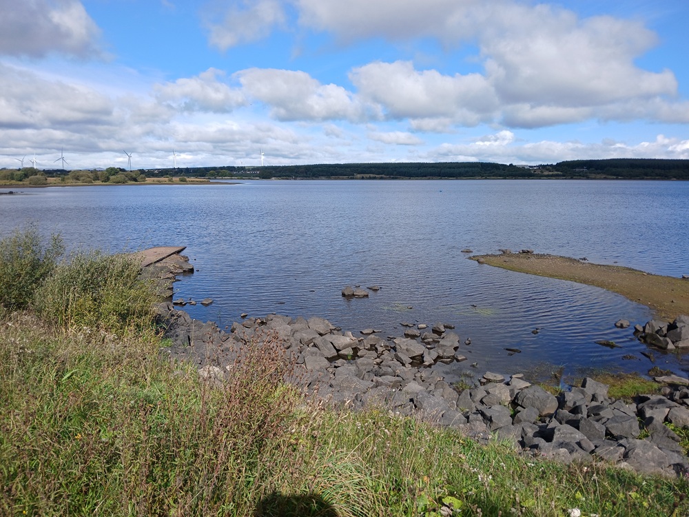
At the end of the Hillend Reservoir, the path makes another detour to the right and crosses a bridge over a stream. The water is now running towards the west as the path has crossed the watershed between east and west. The well signposted path crosses the Main Street. Follow the path signposts and/or the signposts to Caldercruix railway station. Follow the Station Road. You now have a choice to make as you have now walked 14 miles / 20 kilometers... Terminate the walk at the Caldercruix railway station (2 trains an hour to Glasgow Queen Street lower level) or complete the path/walk to Drumgelloch Station in Airdrie. Your choice.
100 yards/meters after the railway station, follow the signposts over on a bridge crossing the railway line and then the path, still signposted, down to the right along the railway line. The path now descends slightly through a glen past a housing estate before it crosses under the railway line again. The path follows the bottom of this pretty scenic glen, see picture below.
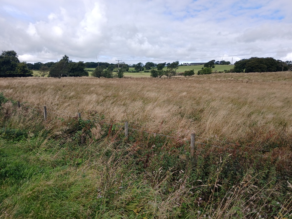
The path is a bit undulating at the end before it rejoins the main road just before a small village called Plains. The road climbs a lot over Plains, which has some shops. Keep to the pavement to the right. The road descends again after this village, where this nice sign awaits the walker..
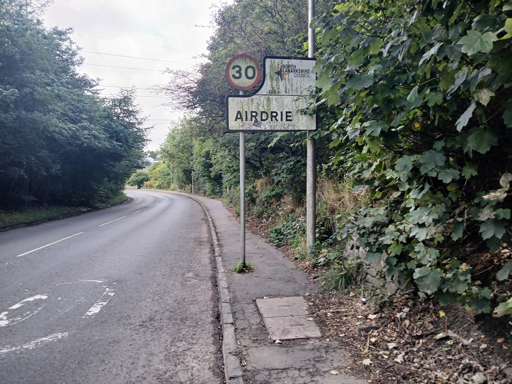
This is not a pretty part of the walk and can be avoided by taking a bus. But it ends up after a corner and a church. At the shops, some traffic lights and a playing field to the left, take Towers Road to the left and then the first road to the right again, signposted Katherine Street. Follow this road until it reaches the car park at the Drumgelloch Station. Cross the railway line on the pedestrian bridge to the other side of the railway line to the platform for the trains to Glasgow, where this walk ends.
Train to Glasgow Queen Street lower level 4 - 6 times an hour.
Enjoy the walk !!