
Renfrewshire
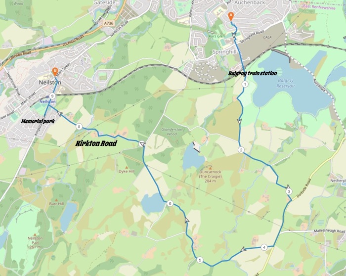
5 miles / 9 km
A walk on some small roads along some farm fields and farms. With the opening of Balgray train station in October, this area is now more accessible than ever.

Pretty Hard

McGill's Bus 51 to Newton Avenue from Paisley Town Hall/Barrhead 2 - 4 times an hour.
Train from Glasgow Central Station to Balgray railway station (opening date 27. Sept) 2-3 times an hour.
The walk starts at the bus stop in Newton Avenue. Walk to the left here until the first road to the right, Hawthorn Drive. Climb the staircases and follow the signpost to St. Luke's High School. Walk around the school or cross through the car park (if the school is open) to the gates. Cross Springfield Road and take the Balgraystone Road straight ahead. This road, past a housing development now crosses under the Balgray railway station and the Glasgow - Neilston railway line.
This is the start of the walk for those who has taken the train from Glasgow/Neilston to Balgray railway station. A railway station that is opening up a new area for walks and physical training. This is a welcome side effect of this railway station.
The walk continues straight ahead (take the road to the left, under the railway bridge, if you are coming from the Balgray railway station) and up a single-track road past a dog park called Harris Park. I have with great fun observed the dogs running around, chasing each other and having great fun in this park. I think dog parks are a great idea.... And these words come from a cat lover who prefers cats to dogs.
Canines aside... The walk/road climbs a bit along the farm fields up to the Balgraystone Road - Glanderstone Road crossroad. Dungarnock Hill comes into view here in all it's glory.
Continue straight on at the crossroad here and up to a hilltop. The road is undulating here before it falls down to a small river valley and bridge. Take the road to the right here, up a steep hill with some good views at the top.
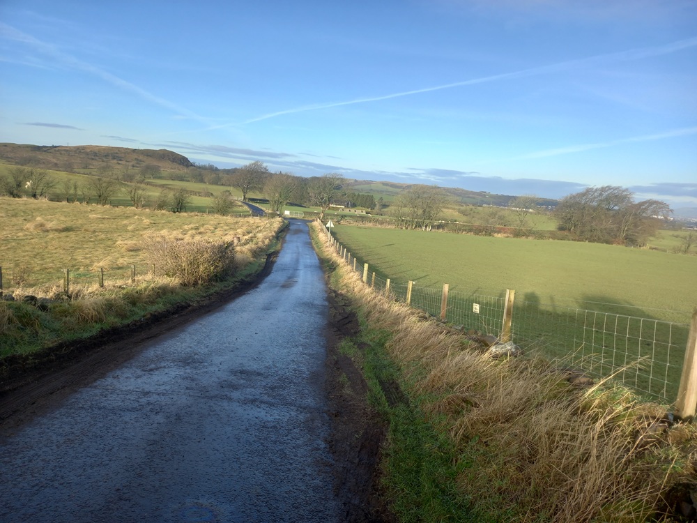
The small road takes you past a small farm to the Glasgow - Stewarton main road.... Dodside Road. Take this road to the right. Follow this road on the road edge for the next 500 yards/meters up a small steep hill. Then take the first road to the right again. The road is named Craigton Road and it is pretty flat in the beginning before it climbs up to Mid Craigton farm.
At the next crossroad, you have two choices. To continue straight on or take the Walton Road loop up to the left which is adding half a mile/ 1 km to this walk. This walk continues straight on to Walton Dam.
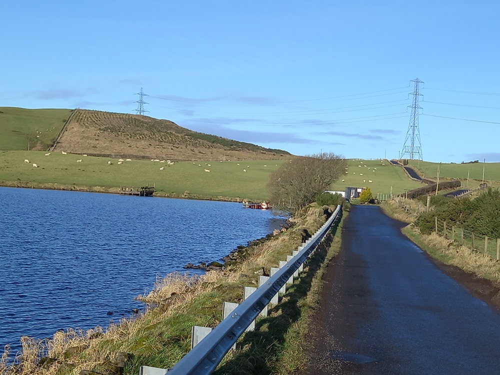
To the right, Dungarnock Hill can be spotted across the farm fields. Another hill is more concerning though... The hill on this road, which has now changed name to Springhill Road. The scenery is lovely here and the climb looks worse than it is. The hill here is also a watershed between two river systems that merge lower down on their way to River Clyde. The road now descends towards another crossroad, the Springhill Road - Kirkton Road crossroad. Take Kirkton Road to the left. There are some good views here...
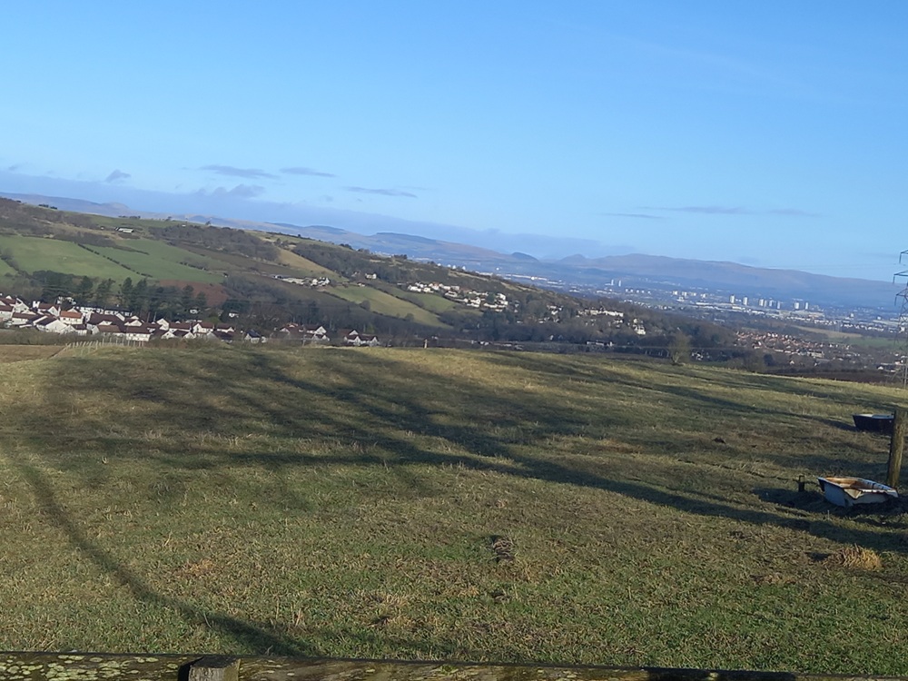
This road is very undulating with one steep descent and one steep hill. The Neilston signpost welcomes you before the road ends at the playing fields at Neilston. The Neilston War Memorial Organisation has put up a memory sign in memory of the Norwegian refugee camp who occupied this playing field in 1945. 27 US sailors also lost their lives in the effort of saving these Norwegians in January 1945. A detour up to this memorial sign is well worth the effort. A 400 yards/meters detour in all.
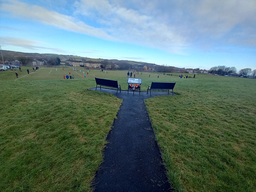
When returning down the hill in the playing field, take the road to the right down to the bus stop/Neilston railway station where this walk ends.
Train to Balgray/Glasgow 2 times an hour.
McGill's Bus 3 to Glasgow 2 times an hour.
McGill's Bus 66 to Barrhead/Paisley 2 times an hour.
Enjoy the walk !!